


Unusual heat and thunderstorm risk build across Alberta
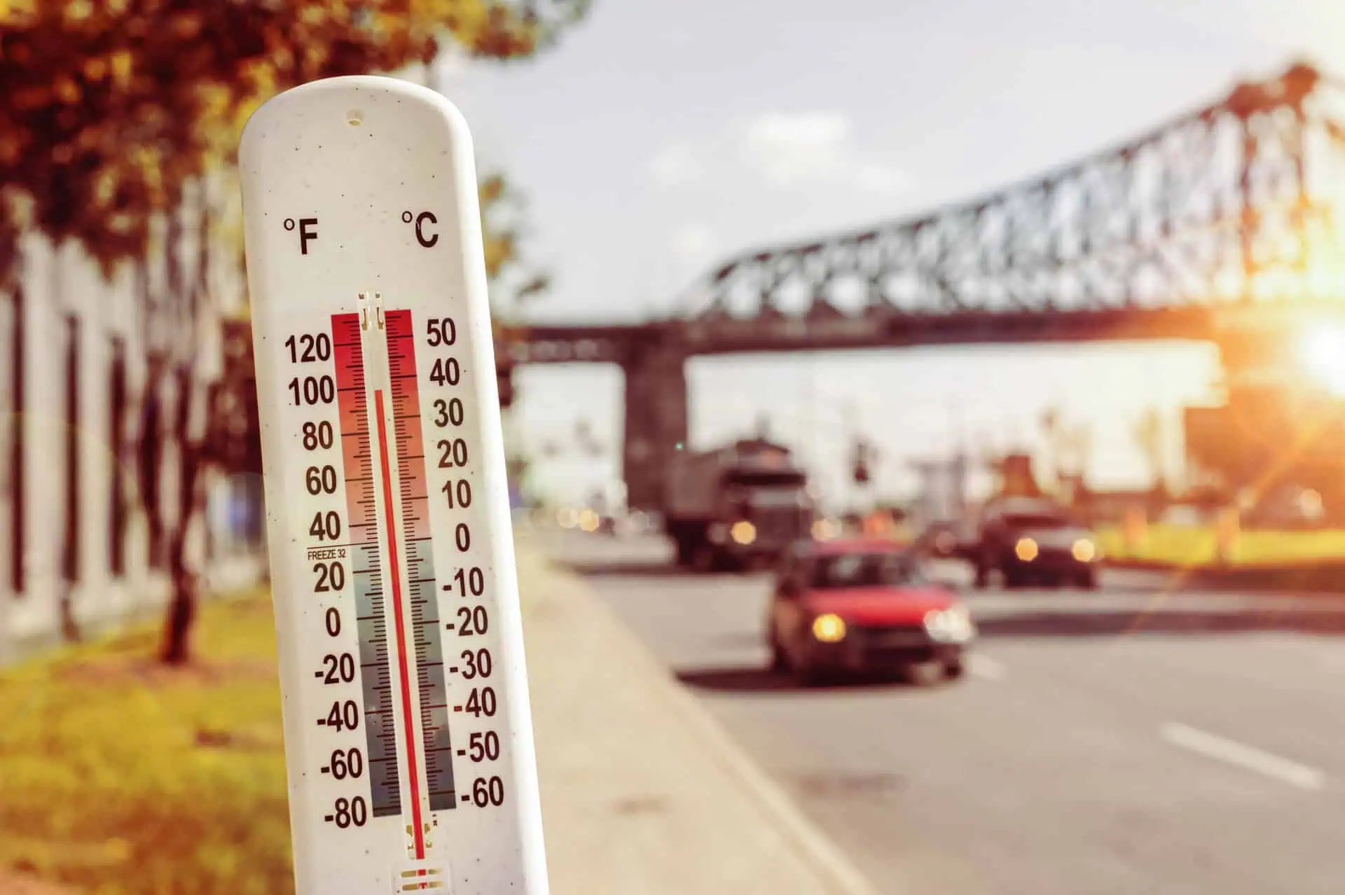
A strong ridge of high pressure originating from the northern United States is pushing unseasonably warm air deep into Alberta, driving temperatures well into the 30s°C (86–91°F) across many regions. This early-season heatwave is intensifying just ahead of meteorological summer, which begins on June 1, delivering a swift and forceful start to the season.
Extreme heat triggers province-wide warnings
On Wednesday, May 28, southern Alberta basked in the upper 20s°C (mid-80s°F), with central and northern zones brushing the 30°C (86°F) mark. By Thursday, the mercury is forecast to climb even higher, reaching 33°C (91°F) in parts of the north. In response, Environment and Climate Change Canada (ECCC) has issued heat warnings urging caution due to the intense, dry heat.
Key safety concerns include heat stroke and exhaustion, with symptoms ranging from confusion and dizziness to fainting or even unconsciousness. Authorities are urging residents to stay hydrated, limit sun exposure, and never leave pets or children in parked vehicles.
A shift in pattern: Thunderstorm risk grows Thursday
As a cold front sweeps eastward late Thursday, it will bring a notable temperature drop, but also introduce instability to the atmosphere. This transition sets the stage for severe thunderstorms, particularly west of the QE2 corridor—from Red Deer through Edmonton, up toward Slave Lake.
Forecasters warn that strong wind gusts and hail the size of quarters could accompany the storms, making conditions hazardous by Thursday evening. Rainfall associated with these systems will also offer some relief, dropping temperatures into the low 20s°C (low 70s°F) by Friday.
Ongoing monitoring advised
As Alberta’s skies turn increasingly active, it’s crucial to stay updated with evolving forecasts, especially with a dynamic transition between intense heat and severe storms now unfolding.


