

Thursday, May 29, marks a dramatic shift in Alberta’s weather as we approach the start of meteorological summer on June 1. After days of intense heat, a cold front sweeping across the province brings a heightened thunderstorm threat, signalling a turn toward unstable summer-like conditions.
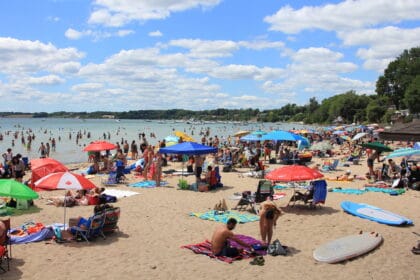
Widespread extreme heat warnings remain in effect
A persistent high-pressure system positioned over the northern United States continues to funnel hot air into western Canada, keeping heat warnings active across much of Alberta. Environment and Climate Change Canada (ECCC) urges residents to be alert for signs of heat-related illnesses, including high body temperature, lack of sweating, disorientation, fainting, and loss of consciousness.
The intense heat that peaked on Wednesday will persist through Thursday, with daytime highs near or above 30°C (86°F). The public is encouraged to stay hydrated, limit outdoor activity, and seek out cooler indoor spaces.
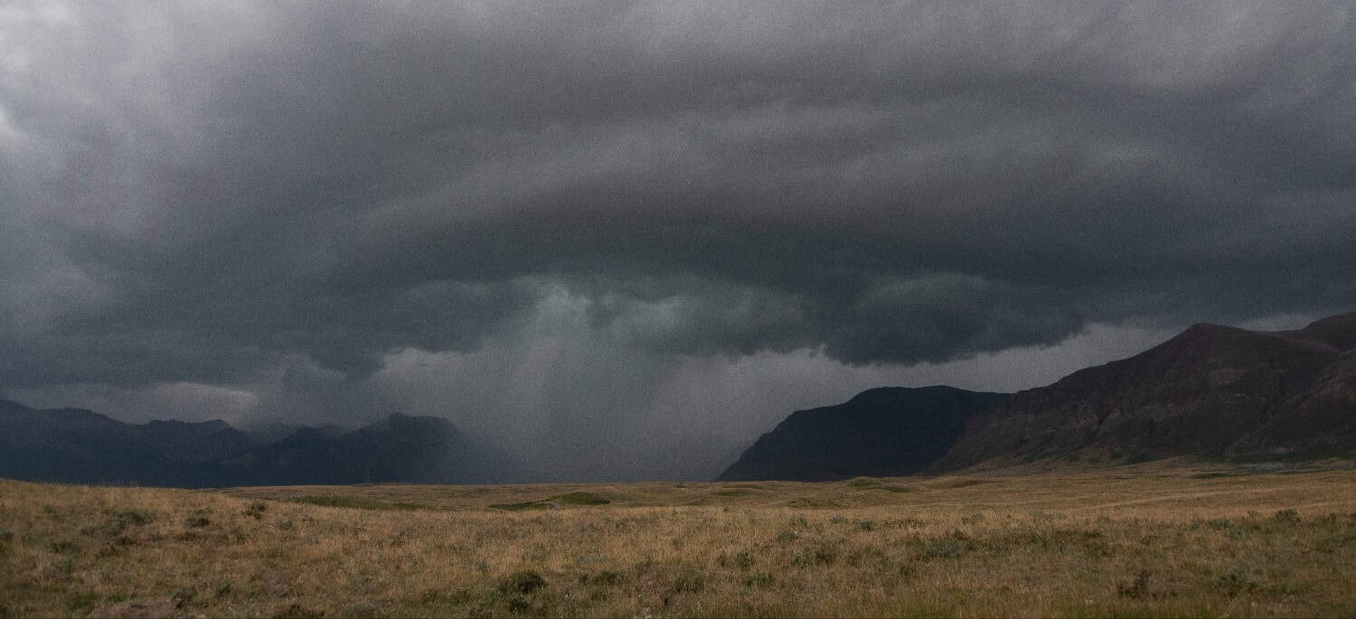
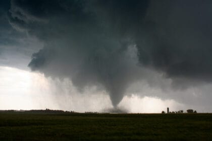
Cold front brings severe thunderstorm threat
As cooler air moves in from the west during the late afternoon and evening hours, the atmosphere becomes increasingly primed for thunderstorm development. The highest risk area stretches along and west of the QE2 highway, impacting communities from Red Deer to Edmonton, and extending north toward Slave Lake.
These storms may produce:
- Strong wind gusts
- Small hail
However, widespread wildfire smoke may suppress storm intensity by limiting vertical development within the clouds.
Cooler temperatures arrive Friday
Following the passage of the cold front, temperatures are expected to drop significantly, settling between 20°C and 25°C (68°F – 77°F) on Friday. Still, the 2025 summer forecast for the Prairies suggests that more heat and storm activity lies ahead, as highlighted in The Weather Network’s latest seasonal outlook.
Stay tuned to local forecasts across Alberta for the latest updates as the weather continues to shift rapidly.


