
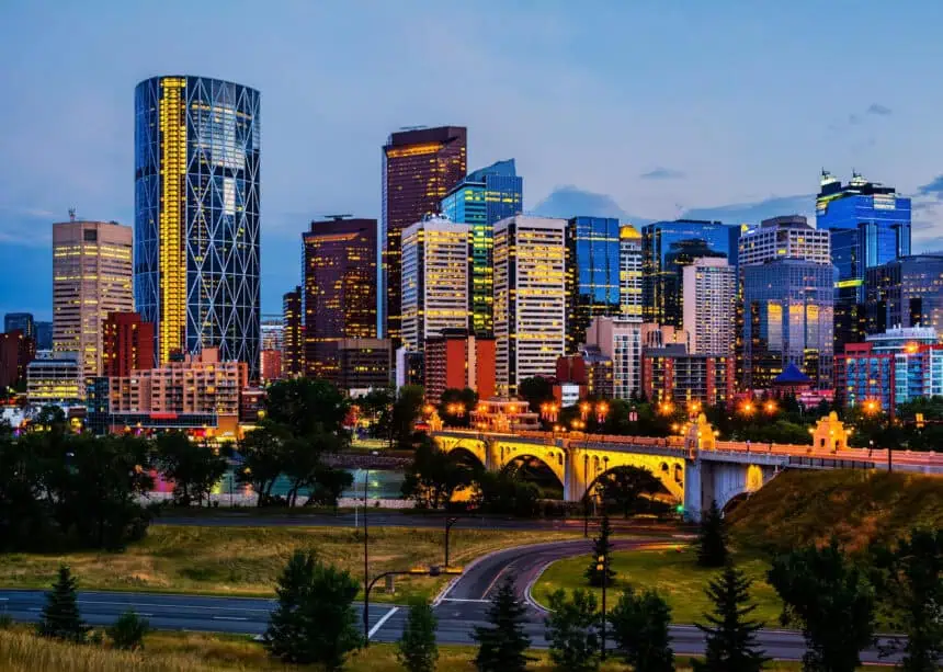

A sharp turn in temperatures for southern Alberta
In Calgary, after enjoying a stretch of unseasonably warm temperatures, residents should prepare for a dramatic shift this weekend, as Environment and Climate Change Canada (ECCC) forecasts a notable 23-degree Celsius (41.4°F) temperature swing that will disrupt the current heatwave.
From near-record highs to below-average cool
The hottest day of the year so far was recorded yesterday, with Calgary reaching a scorching 31.8°C (89.2°F). That intense heat isn’t over just yet, as Friday and Saturday are expected to deliver sun-drenched skies and highs of 27°C (80.6°F) and 29°C (84.2°F) respectively, making Saturday the peak of the current warm spell.
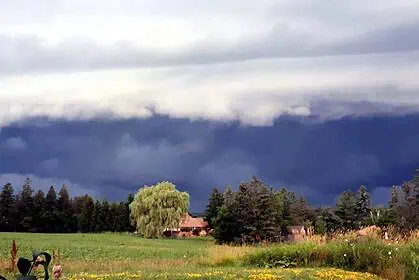
But by Saturday night, clouds roll in, and showers may cool things down quickly. Overnight, the temperature drops to 7°C (44.6°F), followed by a chilly Sunday with a daytime high of just 16°C (60.8°F) and a low of 6°C (42.8°F).
This abrupt change—from 29°C (84.2°F) on Saturday afternoon to 6°C (42.8°F) by Sunday night—translates to a 23-degree Celsius swing, an impressive contrast even by prairie weather standards.
Typical early June? Not quite
While this might feel extreme, ECCC data show that the average early June high in Calgary hovers around 19°C (66.2°F) with overnight lows near 6°C (42.8°F). So, while Sunday’s forecast aligns closely with seasonal norms, it will feel significantly cooler after the unusually warm lead-up.
A temporary aid against wildfires
Although sudden, this cooldown might bring temporary relief as wildfires continue to flare up across Alberta. Lower temperatures and overnight precipitation could support firefighting efforts, especially in areas hardest hit by this spring’s intense fire season.
Stay tuned to ECCC updates and keep an eye on localized forecasts as we head into the new month with variable conditions on the horizon.


