


An extreme temperature swing shocks southern Saskatchewan
On Monday, June 9, 2025, parts of southern Saskatchewan, including Val Marie and Coronach, experienced one of the most dramatic diurnal temperature shifts ever recorded in Canada during the meteorological summer. Within just 12 hours, temperatures swung from sub-zero readings at dawn to scorching summer heat, marking a stunning difference of over 35 degrees Celsius.
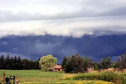
Frost at sunrise: cold air trapped in the Frenchman River valley
By early Monday morning, temperatures had plunged to -1.2°C (29.8°F) in Val Marie and -0.3°C (31.5°F) in Coronach. This chilling drop was intensified by the topography of Val Marie, which lies in a broad valley near the Frenchman River. Cold air tends to settle in valley bottoms, especially under clear skies, which promote radiative cooling—the loss of daytime heat into the atmosphere overnight. The presence of leftover cold air from a weekend trough over the eastern Prairies further deepened the chill.
Afternoon heat surge: high pressure and downslope winds
By the afternoon, the scene had completely flipped. A ridge of high pressure moving in from British Columbia and Alberta settled over southwestern Saskatchewan, driving temperatures to 34.1°C (93.4°F) in Val Marie and 32.3°C (90.1°F) in Coronach. The total diurnal range in Val Marie reached a staggering 35.3°C (63.5°F). This dramatic warming was further accelerated by downslope winds—warm, dry air flowing downhill from surrounding higher terrain—which caused adiabatic heating and pushed temperatures well above seasonal norms.
An exceptional shift, even for Prairie standards
Such rapid and extreme changes are rare even in Saskatchewan, a region known for its climatic contrasts. Monday’s event was a vivid reminder of how local geography, combined with large-scale atmospheric dynamics, can create extraordinary weather conditions in the heart of the Canadian Prairies.


