
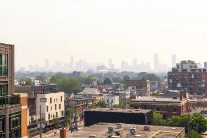
Air quality improvements over Edmonton
Edmonton woke up to markedly cleaner air this Thursday 12 June, thanks to a dramatic overnight improvement in air quality. The southerly wind flow has temporarily cleared the thickest layers of wildfire smoke, offering residents a short-term reprieve. However, this improvement may be short-lived, as air quality models suggest a return of smoke to the Edmonton region later today, depending on the evolution of the precipitation pattern.
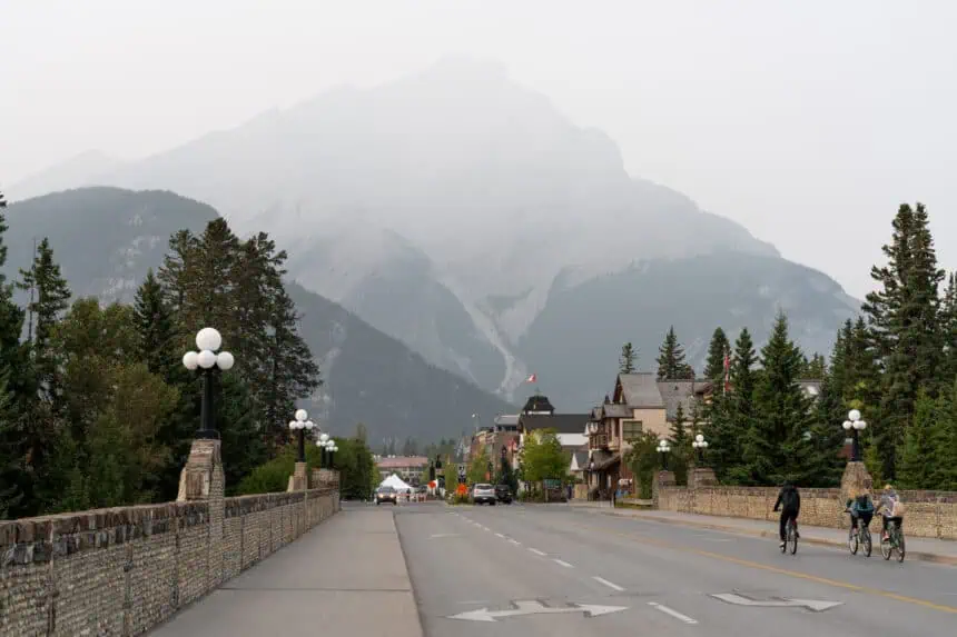
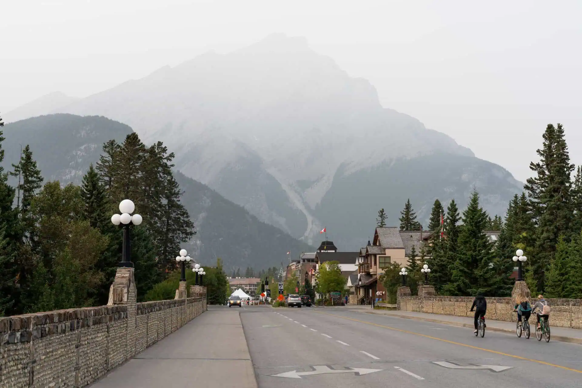
Smoke still lingering in western and southern Alberta
While Edmonton is breathing easier, western Alberta and regions stretching from Red Deer all the way south to the U.S. border remain under significant smoke cover. Air quality warnings remain in effect for those areas, with smoke advisories active due to ongoing wildfire activity and southerly transport of smoke particles.
The forecast remains uncertain, especially with scattered showers influencing smoke dispersion across the central corridor of the province. Wildfire smoke could re-enter the Edmonton area by late Thursday, driven by the same southerly winds feeding moisture and precipitation into the region.
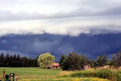
Showers sweeping through central Alberta
The Edmonton region is expected to receive showers beginning late this morning, with precipitation chances persisting into Friday evening. However, these showers will not be continuous, and breaks in the rain are expected. The best windows for rainfall in Edmonton include:
Late this morning and early afternoon – high probability of showers.
Late this afternoon and evening – low to moderate probability.
Overnight and early Friday – elevated chance, particularly in the pre-dawn hours.
Friday late afternoon and evening – high likelihood, with a risk of thunderstorms.
The bulk of the precipitation system is expected to shift northward, affecting areas from the Peace Country to Fort McMurray, while central and southern Alberta may experience more sporadic and inconsistent rainfall.
Wind gusts across the region
Gusty southeasterly winds, sustained at 20 km/h and gusting up to 40 km/h, will be present through Thursday and into early Friday. The wind intensity should begin to subside Friday afternoon, unless late-day thunderstorms develop, which could temporarily reinvigorate strong gusts.
Outlook for the weekend
Saturday and Sunday are shaping up to be milder, with a mix of sun and cloud and afternoon highs between 18 and 21 °C (64–70 °F). There’s a slight chance of a brief shower early Saturday, and a minor risk of precipitation Sunday evening, but overall the weekend looks relatively stable and pleasant.
Detailed Edmonton forecast
Thursday 12 June
Mostly cloudy with intermittent showers, especially late this morning and early afternoon.
Wind: Southeast 20 km/h, gusting to 40 km/h.
High: 18 °C (64 °F)
Tonight
Cloudy with a 40% chance of showers.
9 p.m.: 17 °C (63 °F)
Friday 13 June
Mostly cloudy with a 60% chance of morning showers.
Risk of thunderstorms in the afternoon or evening.
Low: 13 °C (55 °F)
High: 19 °C (66 °F)
Saturday 14 June
Mix of sun and cloud, with a 30% chance of an early morning shower.
Low: 12 °C (54 °F)
High: 19 °C (66 °F)
Sunday 15 June
Partly sunny with light cloud cover.
Low: 10 °C (50 °F)
High: 20 °C (68 °F)
Monday 16 June
Partly cloudy and dry.
Low: 11 °C (52 °F)
High: 22 °C (72 °F)
Tuesday 17 June
Mix of sun and cloud, with a 30% chance of showers.
Low: 11 °C (52 °F)
Edmonton residents should continue to monitor local air quality indices and prepare for changing weather conditions, as June’s variable atmosphere remains influenced by wildfire smoke, humid air masses, and incoming low-pressure systems from the southwest.


