

High streamflow alert from the River Forecast Centre
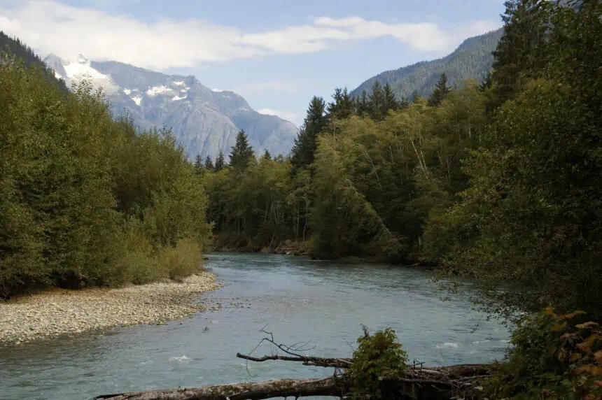
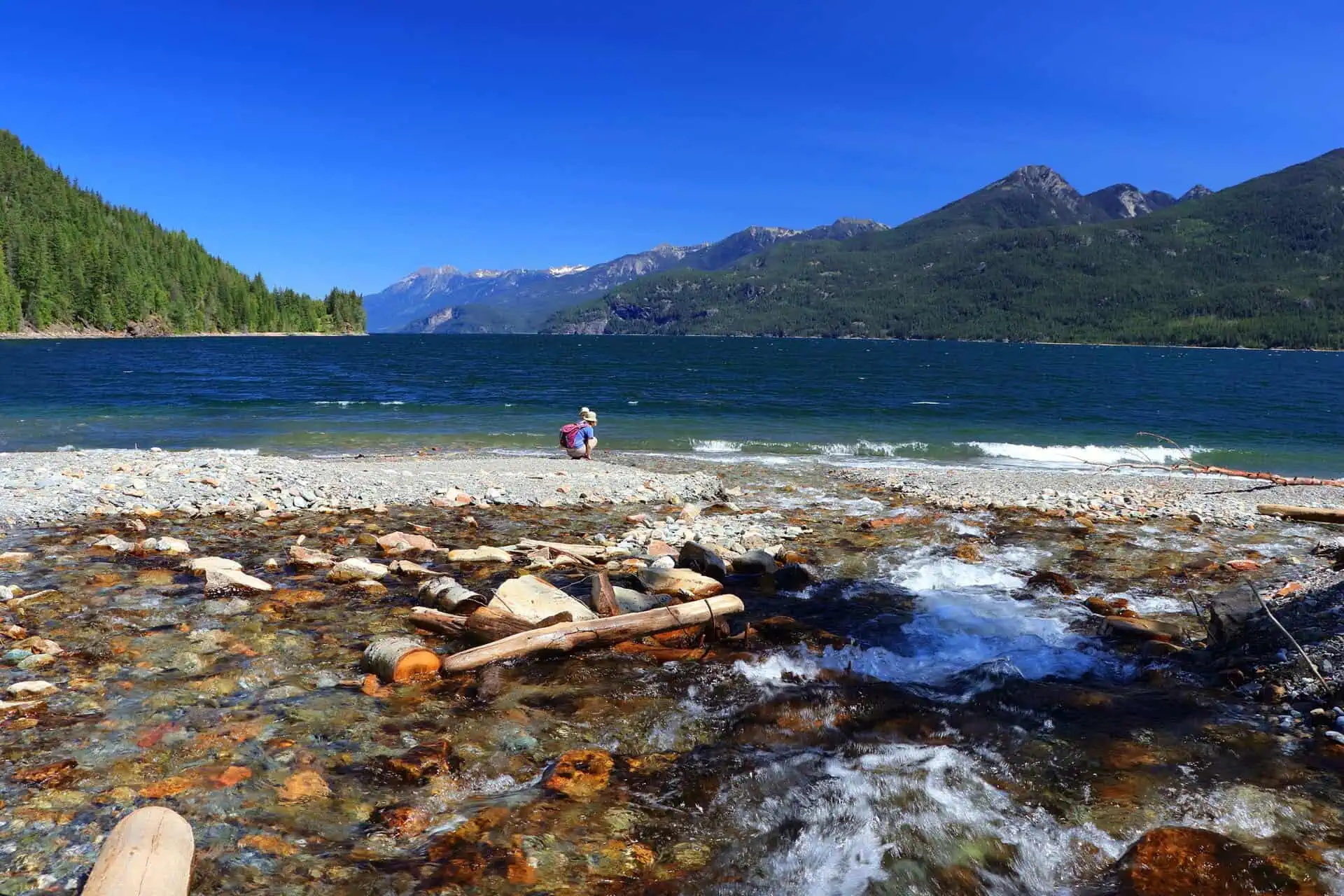
British Columbia’s River Forecast Centre has issued a high streamflow advisory for Interior rivers, including tributaries stretching from the Alaska border south to the Canada–U.S. boundary, and east along sections bordering Alberta. This alert follows a confluence of heavy rainfall forecasts and recent rapid snowmelt that is fuelling already elevated water levels in multiple basins.
Rapid rise expected by Thursday and Friday
Forecasters indicate that rivers will surge swiftly between Thursday, June 12 and Friday, June 13, with high flow conditions possibly persisting into Sunday, June 15. This rise is linked to a low-pressure system offshore from Alaska and the B.C. coast, which is expected to generate wraparound precipitation across the Interior. The extent of rainfall accumulation remains uncertain, but statistical models suggest flows could reach thresholds seen only once every 5 to 20 years.
Upper Fraser and Upper Columbia on watch
The Upper Fraser and Upper Columbia basins, where seasonal snowpack is still melting, are under particular observation. These areas are already experiencing high flows due to the early June heat event, which caused record-breaking temperatures across much of British Columbia.
Climatic background: early season heatwave
This hydrometeorological situation follows an early season heat event, recently declared by Environment Canada, which led to multiple record highs throughout the province. The sharp temperature increase triggered an accelerated snowmelt at mid and high elevations, intensifying the potential for flooding when combined with anticipated rainfall.
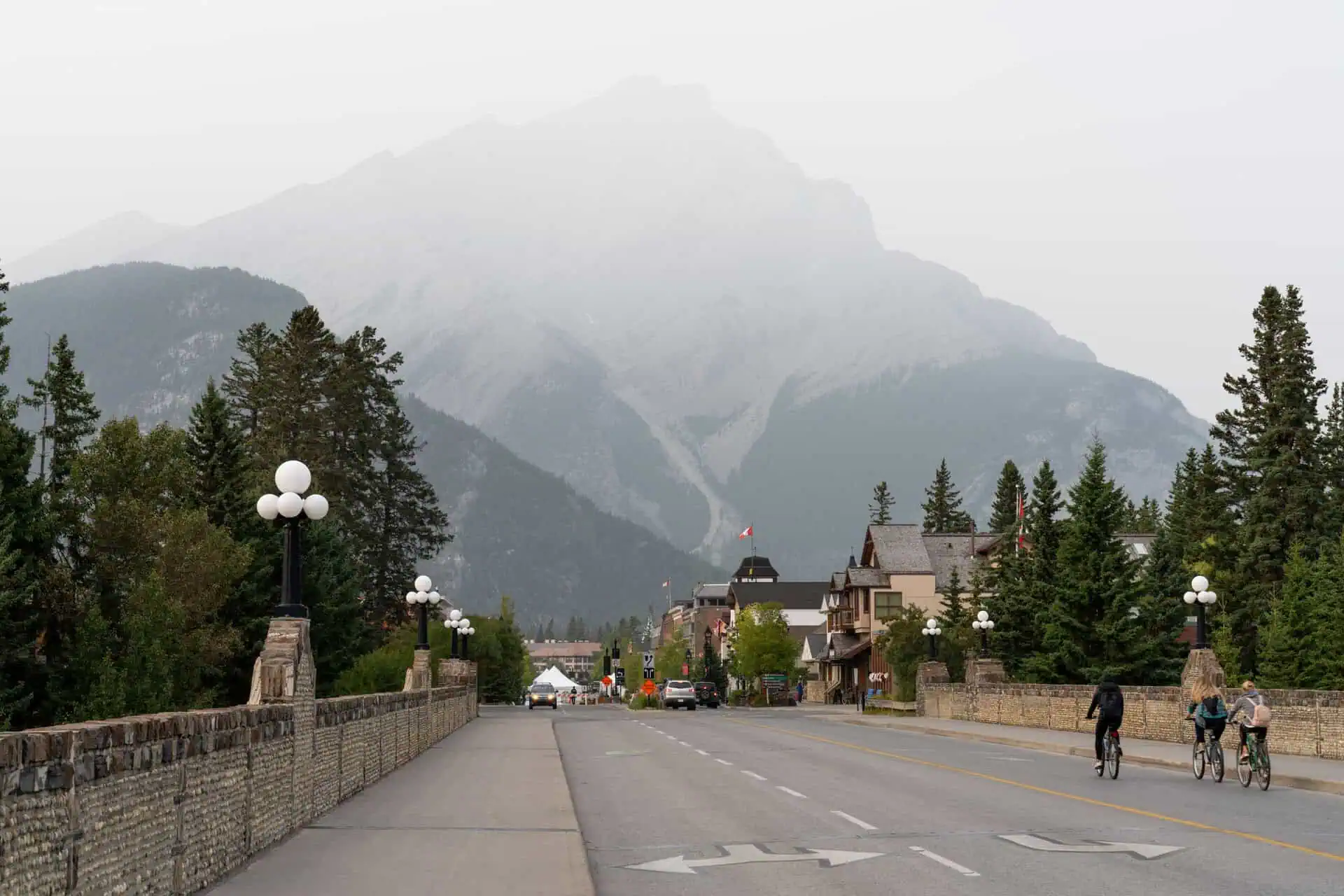
Residents in affected areas, especially in regions near the Interior mountains, are urged to remain alert to changing conditions and closely monitor provincial updates through the River Forecast Centre and Environment Canada bulletins.

