

Unsettled pattern continues across the western Prairies through Sunday
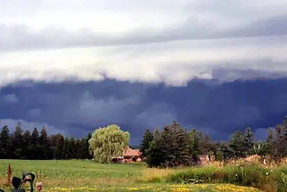
An active spell of stormy weather is set to continue across the western Prairies, bringing the threat of severe thunderstorms through Sunday, June 15, 2025. Regions of Alberta and Saskatchewan will face a heightened risk of large hail, damaging wind gusts, and heavy downpours. Atmospheric instability will peak on Friday and Saturday, especially over central and southern Alberta, where the setup could favour rotating storms, funnel clouds, and even landspouts.
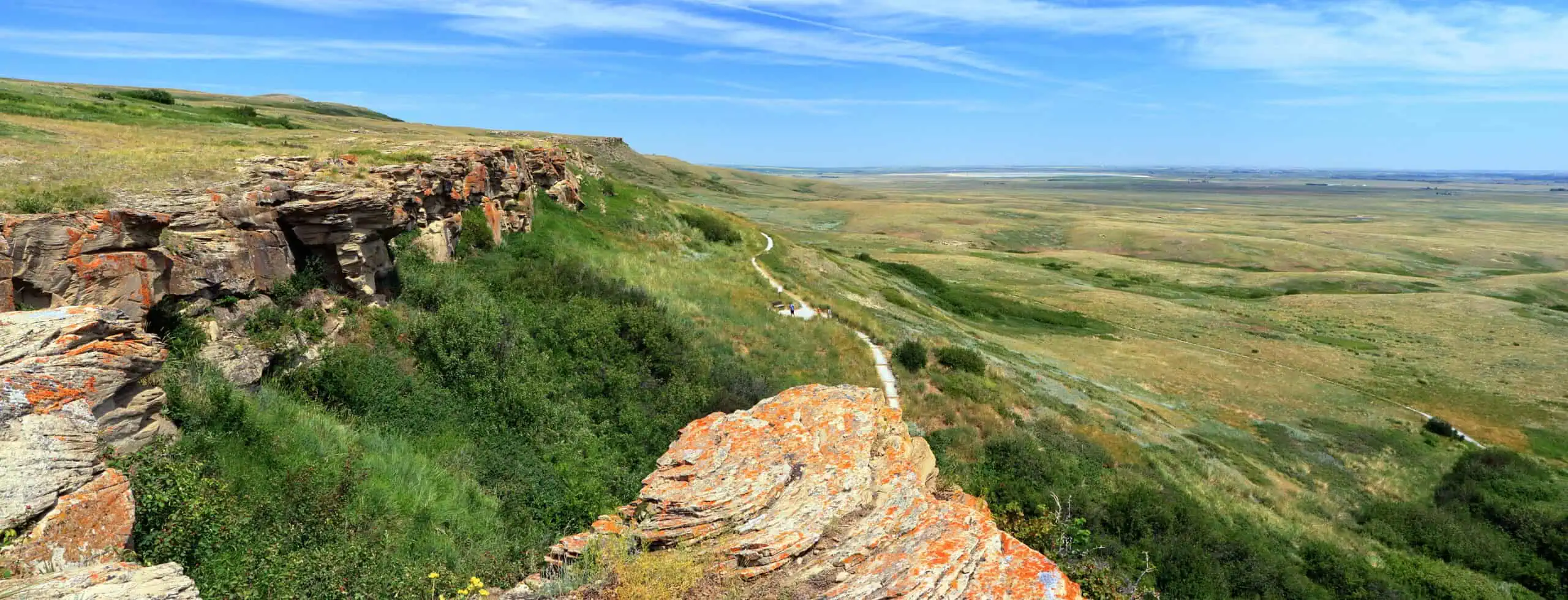
Friday, June 13: severe storm risk with large hail in Alberta
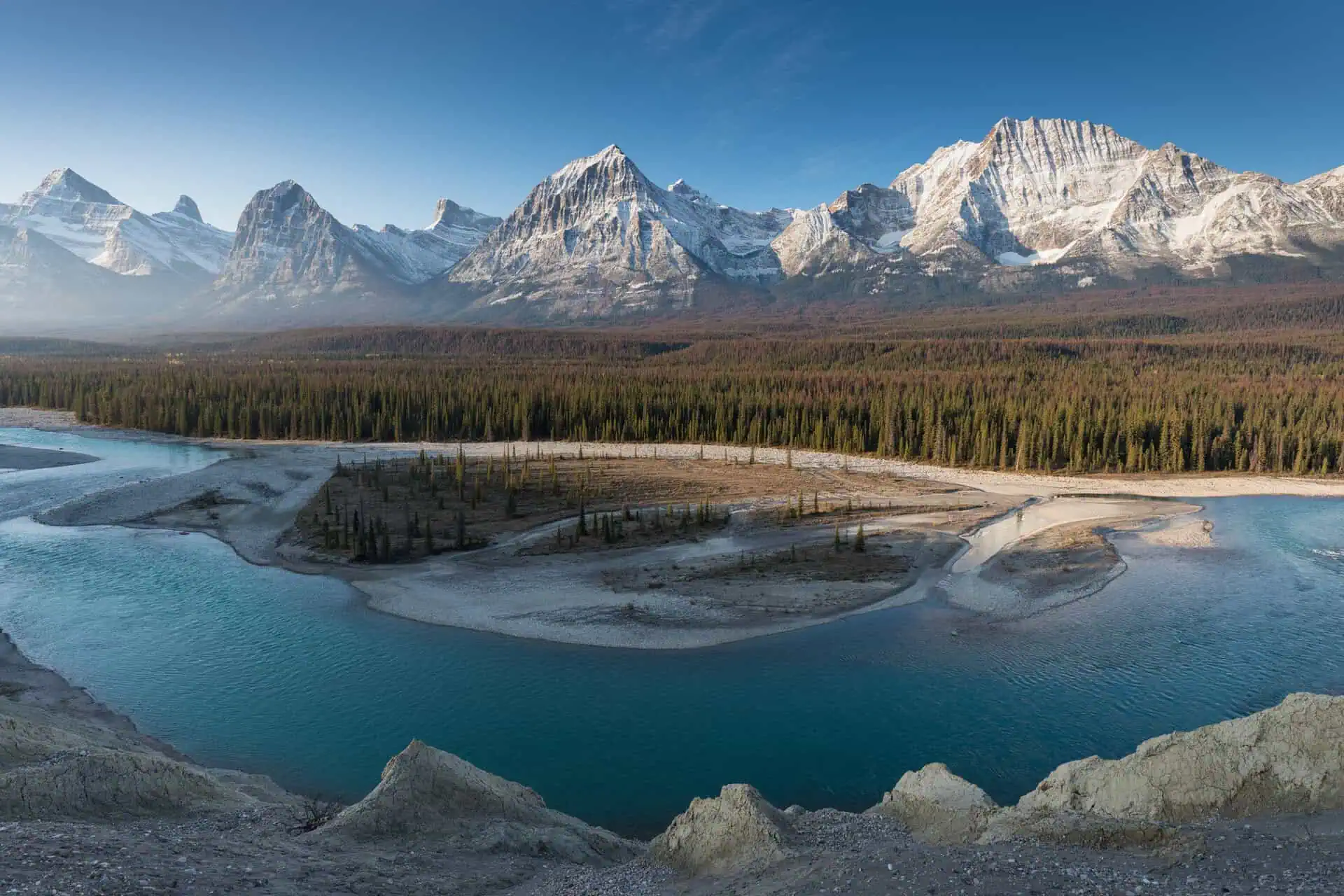
A low-pressure system lifting northward across Alberta will bring steady rainfall to the northern parts of the province. Areas like Grande Prairie and Slave Lake could receive 50 to 75 mm of rain by Sunday (2 to 3 inches), helping to suppress ongoing wildfires in northern forested regions.
Meanwhile, central and southern zones—especially around Edmonton, Red Deer, and Medicine Hat—will experience enough moisture and instability to fuel strong to severe thunderstorms. These storms may produce large hail, possibly reaching sizes equivalent to a loonie or golf ball (2.5 to 4.5 cm, or 1 to 1.75 inches), along with strong straight-line winds. There is also a chance for funnel clouds, and localized landspouts cannot be ruled out. Winds shifting direction by the afternoon should help clear lingering wildfire smoke from southern Alberta.
Saturday, June 14: storm threat moves east into Saskatchewan
As the low-pressure system pushes further east, the threat for severe storms will migrate into the Saskatchewan region. Central Saskatchewan, including Calgary, Regina, Saskatoon, and Prince Albert, will be under the gun for intense thunderstorms, with the potential for damaging gusts, large hail, and torrential rain.
Saskatoon and nearby areas may be particularly vulnerable early in the weekend, with high instability and dynamic wind shear supporting the development of more organized and potentially damaging storms.
Welcome rainfall for fire-prone northern Alberta
While storms bring threats to southern areas, the persistent rainfall over northern Alberta will be highly beneficial in the context of wildfire season. Most regions will see 10 to 20 mm of precipitation (0.4 to 0.8 inches), but higher totals are expected near Slave Lake and Grande Prairie. This rain will provide much-needed relief to zones grappling with active fire outbreaks.
Stay alert to watches and warnings
With rapidly changing weather conditions, it’s crucial to stay informed of severe thunderstorm watches, warnings, and any tornado advisories issued by local authorities.
Follow ongoing updates for the latest storm developments across Alberta and Saskatchewan.


