
Another day of intense weather hits the western Prairies
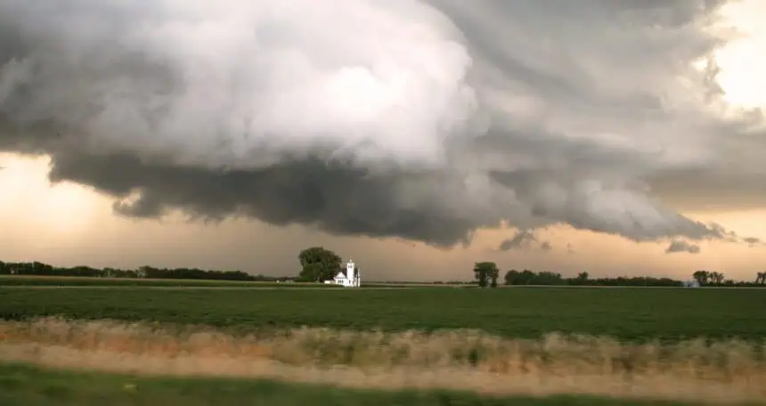
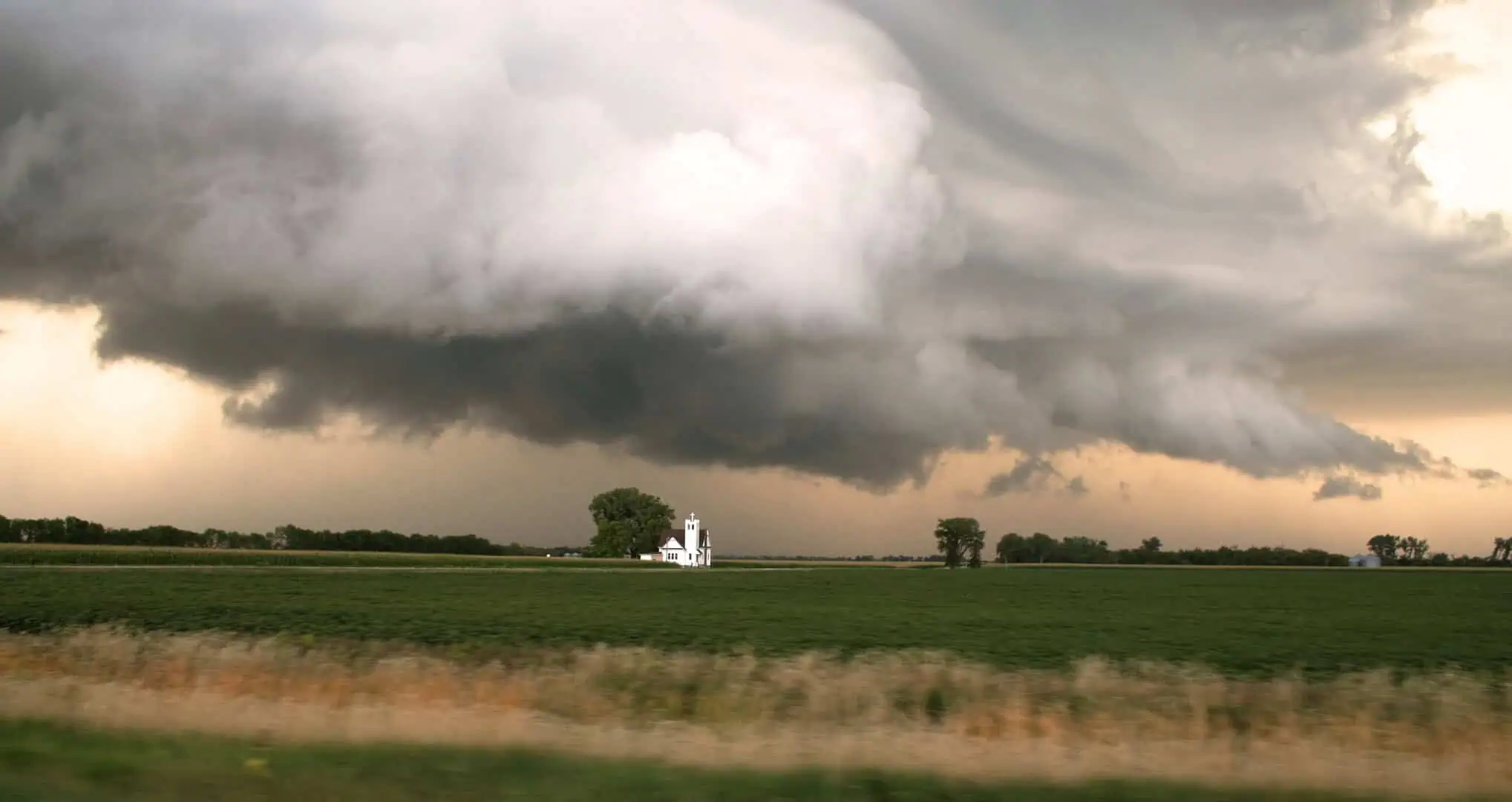
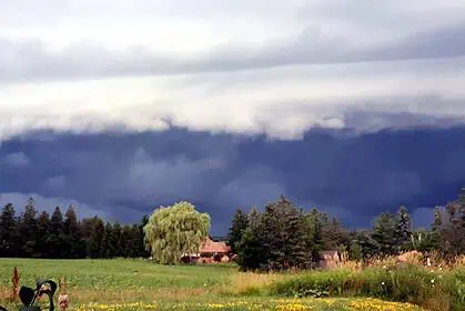
A third consecutive day of severe weather is unfolding across the Prairies, especially impacting southern Alberta and southern Saskatchewan. After tornado-warned storms on both Friday and Saturday, the atmosphere remains primed for more violent conditions this Sunday.
Communities near the Alberta foothills, including Calgary, Red Deer, and Edmonton, are facing renewed risks for large hail and damaging wind gusts. In southern Saskatchewan, areas such as Regina could also see severe thunderstorms develop through the afternoon and evening.
Storm formation driven by a strong upper disturbance
An advancing shortwave trough crossing the Rocky Mountains is the main driver of today’s weather setup. Combined with the formation of a protected surface trough, this atmospheric disturbance is fostering ideal conditions for early afternoon thunderstorm development over the Alberta foothills and central regions.
As these storms push eastward toward the Queen Elizabeth II Highway corridor, they may intensify rapidly, particularly by late afternoon. The key hazards will include hailstones potentially the size of golf balls (4.4 cm / 1.75 in) and winds exceeding 90 km/h (56 mph).
Southern Saskatchewan in the crosshairs as instability grows
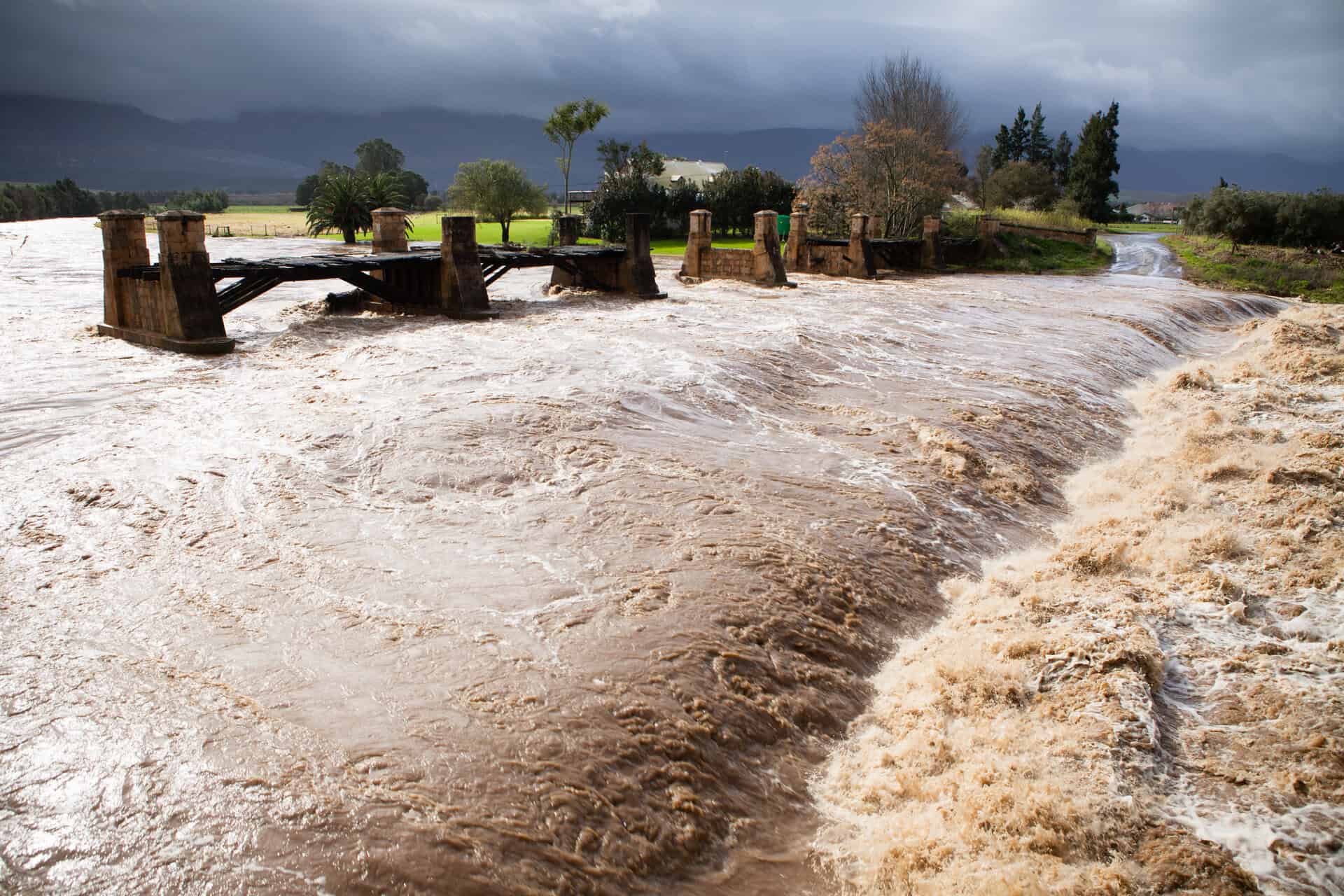
Meanwhile, in southern Saskatchewan, moisture and energy from a low-pressure system in the United States will interact with a southward-sinking cold front. This combination may trigger explosive storm development, with isolated supercells capable of producing torrential downpours and localized damage.
Evening clusters of storms could bring heavy rainfall, especially across south-central Saskatchewan, with isolated totals of 50 mm or more.
Rainfall outlook brings hope for wildfire containment
As we move toward Tuesday, a broad swath of rainfall is expected to impact much of central Alberta, including the Edmonton area, where accumulations could exceed 100 mm (3.9 in). This would be highly beneficial in reducing the wildfire danger, helping both containment efforts and soil moisture recovery in agricultural zones.
However, not all wildfire-prone regions will receive enough rain. Southern agricultural belts, though, are forecast to benefit from moderate precipitation, improving crop conditions ahead of the late-June heat.
End of June trends warmer and drier
Despite this current wet spell, models are showing a return to a warm and dry pattern during the final days of June, especially across southern Prairie regions. Temperatures are expected to trend above seasonal norms, with occasional rounds of storms as weather systems continue moving across the region.
Stay alert to weather watches and warnings, particularly in Alberta and Saskatchewan, as today’s storms could intensify quickly and cause significant local impacts.


