
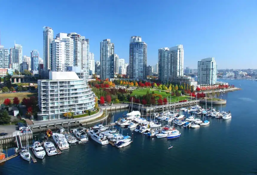

Warm and sunny conditions for Metro Vancouver through Canada Day
METRO VANCOUVER – Canada Day is arriving under clear skies and rising temperatures across Metro Vancouver, as a ridge of high pressure builds over the Pacific coast. According to Environment Canada meteorologist Ken Dosanjh, this system will bring above-seasonal temperatures and plenty of sunshine beginning today, Monday, June 30.
“We will continue to see that ridge strengthen over the next few days,” explains Dosanjh, with temperatures reaching daily highs of 23 to 25°C (73 to 77°F) near the waterfront. Inland communities, such as Pitt Meadows, may experience even hotter conditions, with afternoon temperatures climbing into the upper 20s°C (mid-80s°F).
Canada Day forecast: sunny, hot, and UV-heavy
For Tuesday, July 1, Canada Day, temperatures will ease slightly, but remain well above normal for early July. Expect highs of 23°C (73°F) along coastal areas, while inland zones will again edge toward the mid-20s°C (mid to high 70s°F).
The ridge of high pressure will continue to keep clouds away, resulting in abundant sunshine across the region. While ideal for outdoor celebrations and events, Dosanjh emphasizes the importance of sun safety.
“Protect your skin and eyes,” he advises, highlighting the elevated UV index expected both Monday and Tuesday. Broad-spectrum sunscreen, hats, sunglasses, and shade will be essential under the strong early July sun.
Rest of the week: gradual cooling, but still dry
Starting Wednesday, July 2, the high-pressure ridge will weaken as it moves further inland, leading to a modest increase in cloud cover across Metro Vancouver. Despite this, skies will remain mostly clear, with no rain anticipated.
By midweek, temperatures are expected to return to seasonal averages, with daytime highs around 21°C (70°F). Both Thursday, July 3, and Friday, July 4, will bring a mix of sunshine and cloud, as the region settles into a milder and more typical early-July pattern.


