

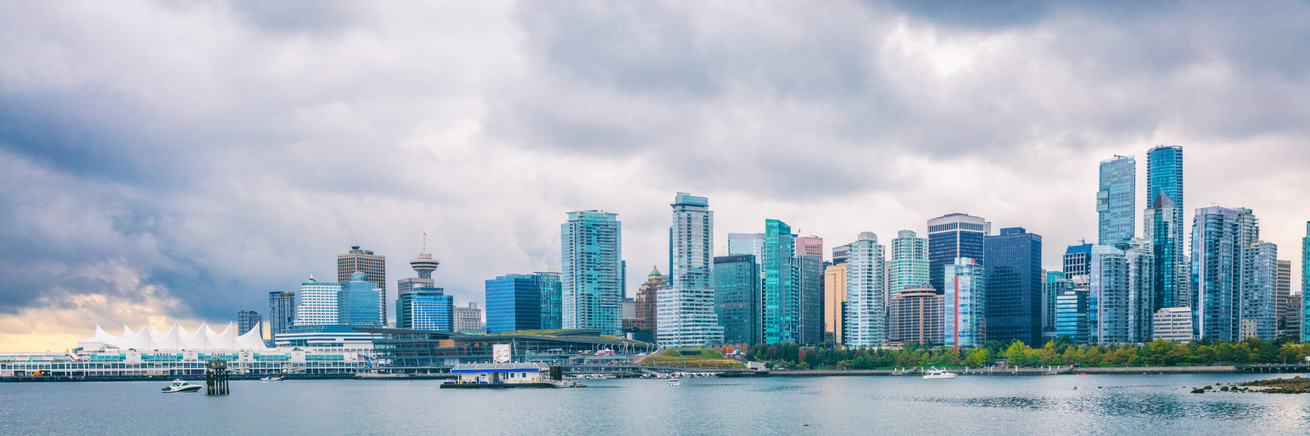
Cooling trend sets in across Metro Vancouver
In this early stretch of July, Metro Vancouver is transitioning into a cooler, more unsettled pattern, marked by a weakening ridge of high pressure and the approach of an upper low. According to Environment Canada meteorologist Gary Lee, the shift will gradually ease the above-average heat seen over recent days.
“These two features are slowly moving eastwards, so we’re looking at a slow cooling trend,” Lee notes, explaining the atmospheric changes underway across British Columbia’s South Coast.
A mild, mixed start to the week
This Wednesday, July 2, temperatures are expected to be slightly cooler than on Canada Day, with highs of about 23 °C (73.4 °F) near the shoreline and warmer conditions further inland. The day will begin sunny, but as the high-pressure ridge shifts east, clouds are forecast to build during the afternoon and evening. There’s a 30% chance of light showers in Metro Vancouver by Wednesday night.
“It’s going to be scattered, with some damp spots,” says Lee. “It’s a weakening system, nothing particularly strong.”
Thursday brings more clouds and cooler air
By Thursday morning, this pattern of intermittent cloud and diminishing warmth continues. A high of around 20 °C (68 °F) is anticipated, with a mix of sun and cloud dominating the skies. Clouds and potential rain are expected to clear out by Thursday afternoon, although variability in the weather pattern remains.
Uncertainty grows heading into the weekend
Friday is forecast to begin on the cooler side, but the outlook is less certain, with another disturbance forming over the region. “Friday clouds over again with a disturbance forming right over us,” Lee explains, highlighting the lack of clarity regarding the timing and reach of any showers.
Because of the weak nature of this system, it’s even possible that precipitation might not reach the ground in many areas of Metro Vancouver.
Showers likely on Saturday, but not guaranteed
Heading into the weekend, the forecast remains unsettled. Saturday currently shows the highest likelihood for light showers, while Sunday appears dry—though both could shift depending on how the system develops. Importantly, no severe weather is expected at this stage.


