
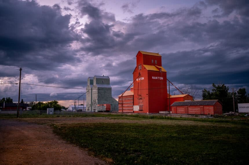
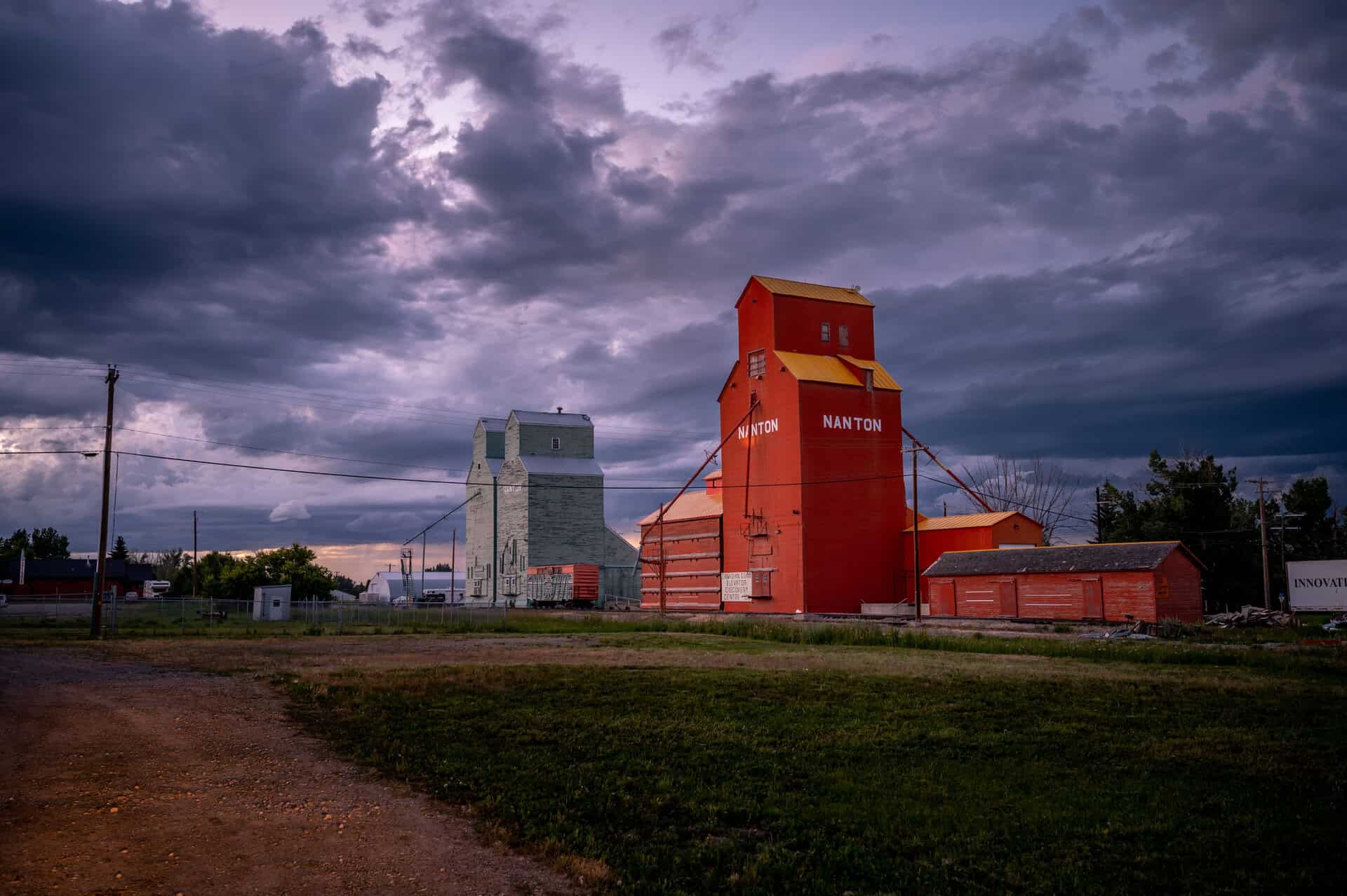
Wednesday, July 2, brings a significant risk of severe weather across much of Alberta and Saskatchewan as a cold front sweeps through, ending the current heat wave and setting the stage for potentially intense thunderstorms in the afternoon and evening. However, it’s shaping up to be a classic “boom or bust” scenario — storms may struggle to develop due to a cap in the atmosphere, but if they do break through, they could turn dangerous very quickly.
Highest risk in northern Alberta, from Edson to Slave Lake
The area of greatest concern lies in northern Alberta, stretching from Edson through Whitecourt and into the Slave Lake region, highlighted in orange on the forecast map. Atmospheric conditions here will be capable of supporting supercell thunderstorms, with initiation expected in the northern foothills between 12 PM and 2 PM local time.
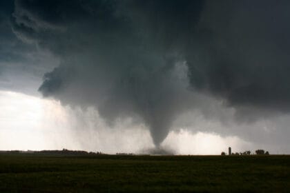
Storms in this region may be capable of producing very large hail — up to 5 cm (2 inches) in diameter, comparable to billiard balls — along with damaging wind gusts in excess of 100 km/h (62 mph). These cells are expected to track northeastward through Alberta and into Saskatchewan overnight. While the storms will be fast-moving, reducing the risk of localized flooding, there is a non-zero chance of one or two tornadoes forming in this area.
Storms possible toward Calgary and southern Alberta
There’s also potential for slightly weaker but still severe thunderstorms to develop further south, approaching the Calgary area and broader southern Alberta beginning in the early afternoon. However, the farther south you go, the less likely storm development becomes. If storms do form, they are expected to move quickly east-northeast across the province and into Saskatchewan by late afternoon.
It’s also possible that southern Alberta could remain storm-free altogether, with the cold front sparking storms instead across southwestern Saskatchewan by late afternoon or early evening. Should this happen, the storms would likely pose more of a wind threat than a hail risk, with potential for damaging gusts up to 120 km/h (75 mph). Due to lower moisture levels, hail is expected to remain smaller — about the size of quarters (2.5 cm or 1 inch) or less.
Heat peaks before the front: 5–10°C above seasonal
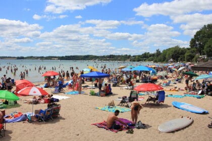
Today will also mark the hottest day of the brief heat wave gripping central and southern Alberta. Afternoon highs are expected to reach the mid-30s°C (mid-90s°F) across much of the south — roughly 5 to 10°C (9 to 18°F) above average for early July.
Forecast data, including Wednesday’s temperature anomaly maps from WeatherBell, show a consistent 5–10°C spike above normal across the region, particularly east of the Rocky Mountains.
Hot weather safety: hydrate, rest, and stay cool
With this kind of intense heat, it’s important to be aware of the health risks associated with extended time outdoors. Heat exhaustion can come on quickly, especially if you’re not staying properly hydrated.
Make sure to sip water frequently — ideally a cup every 15 minutes — and continue to do so even after going back inside. While a cold beer might be tempting, alcohol is dehydrating, so if you do indulge, balance it out with plenty of water.
Sweating causes your body to lose essential electrolytes, so sports drinks or salty snacks can help restore balance. Wearing light-coloured, breathable clothing and limiting direct sun exposure can go a long way in staying safe.
Many municipalities across Alberta, including Calgary, Red Deer, and Lethbridge, have opened public cooling centres where residents — especially those without air conditioning — can find relief during the peak of the heat.
This likely won’t be the last heat event this summer, so it’s wise to keep these strategies in mind and prepare for more high-impact weather in the weeks ahead.


