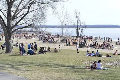
Extreme temperature contrast across British Columbia and Alberta this week
An unseasonable heat wave is set to impact parts of southern British Columbia and a wide portion of Alberta this week, driving temperatures well above seasonal norms. At the same time, a sharp push of cooler air is expected mid-week, setting up a dramatic thermal contrast across Western Canada.
Heat intensifies over southern British Columbia and southern Alberta
A ridge of high pressure moving in from the Pacific is fuelling a significant warming trend across much of southern British Columbia, with temperatures climbing 5 to 8°C above normal. In Osoyoos, highs could reach 37°C (99°F) on Monday, while Kamloops is expected to see values in the mid-30s Celsius (mid-90s Fahrenheit).
By contrast, areas like Prince Rupert and Bella Bella on the North Coast will remain under the influence of a cooler trough, with daytime highs hovering near 13°C (55°F)—a striking temperature gap within the same province.
The South Coast will also feel the heat, with daytime highs well above seasonal averages. Some inland and urban areas could approach 40°C (104°F) by Tuesday, posing elevated heat risks for vulnerable populations.
Alberta heading for hottest day of the year on Tuesday
In Alberta, the warming will ramp up through Monday, but Tuesday, July 8, is set to deliver the peak heat of the week. In Calgary, the high is forecast to reach 32°C (90°F)—potentially challenging or surpassing the city’s hottest day of 2025 so far, which was 32.1°C (90°F) recorded on July 2.
Under the influence of the upper ridge, much of southern and central Alberta will experience sunny skies, low humidity, and strong solar radiation, all combining to amplify the daytime heat.
Cold front arrives: temperatures plunge starting Wednesday
By Wednesday, the heat will be swept away by a strong cold front, which will bring widespread rain to B.C.’s South Coast and cause temperatures to drop sharply across southern British Columbia and Alberta.
By Thursday, July 10, daytime highs in southern Alberta may fall to 10°C below normal, with cool, unsettled weather spreading across the Prairie provinces. In some parts, highs may struggle to reach 17°C (63°F).
This abrupt change in air masses could also spark isolated thunderstorms, especially around Red Deer, between Wednesday evening and Thursday morning.
Stay tuned for the latest weather warnings and special statements for British Columbia and Alberta as the situation evolves.


