

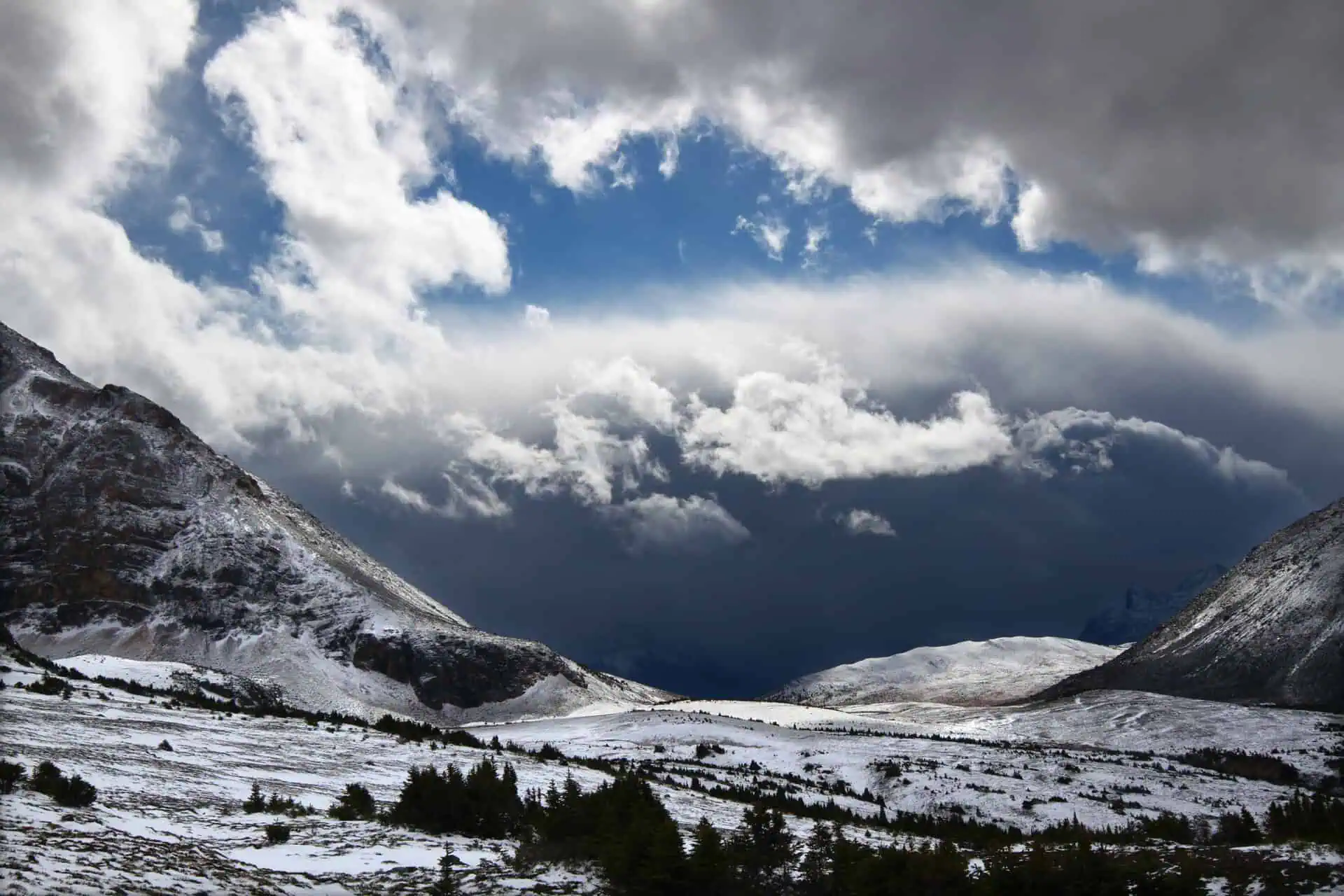
Two distinct areas across the Prairies, especially in central Alberta and Saskatchewan, face a significant risk of severe thunderstorms today, with unstable conditions and the potential for extreme weather. Further east, along the Manitoba border, the situation remains uncertain but cannot be ruled out.
Strong storm line expected to develop in central Alberta
A cold front, currently pushing eastward across Alberta and Saskatchewan, is forecast to initiate thunderstorm activity early this afternoon in west-central Alberta, especially just west of Red Deer.
These initial storms are likely to intensify rapidly, organizing into a powerful line of severe thunderstorms as they approach the QE2 corridor, particularly near Red Deer, before tracking eastward across Alberta through the afternoon.
The system is then expected to enter Saskatchewan by late afternoon or early evening, maintaining strength for several hours before gradually weakening during the evening and overnight hours.
Damaging wind and large hail from Red Deer to Saskatoon
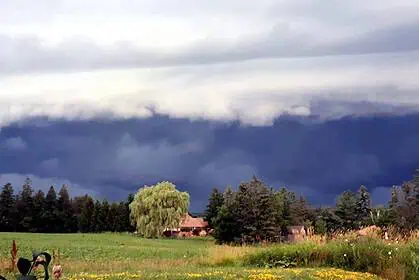
This primary storm line poses a potentially dangerous threat, with borderline destructive wind gusts up to 120 km/h (75 mph) possible along the path from Red Deer to Saskatoon. Large hailstones, as big as golf balls or larger, could accompany the storms, as well as intense rainfall that may result in localized flooding. There is also a chance of one or two embedded tornadoes within the system.
Scattered thunderstorms could also form behind the main line throughout Alberta and Saskatchewan during the day and overnight. These storms are expected to be weaker and more isolated. For those attending the Calgary Stampede, an isolated storm is possible, but the greatest severe weather risk will remain to the north of the city.
More uncertain scenario in eastern Saskatchewan and Manitoba
The same cold front will reach eastern Saskatchewan and the Manitoba border later in the day. Here, particularly across southern Manitoba, conditions will be favourable for severe thunderstorm development, with heat and convective energy surging northward through the day.
However, a strong atmospheric cap—a layer of warm air aloft that suppresses storm development—may prevent any thunderstorms from forming, creating a high degree of forecast uncertainty. In fact, short-term weather models show no storm initiation in this region as of now, increasing confidence in a capped environment.
Still, if storms manage to break through the cap this evening, they could become quite strong, with golf ball-sized hail or larger, strong wind gusts, and torrential rain that may lead to localized flooding. This situation will require close monitoring throughout the day, especially over southwestern Manitoba.
Cooler temperatures expected tomorrow after front passes
Following the cold front’s passage, more comfortable temperatures are forecast across much of the Prairies tomorrow, except for southern Manitoba, where heat and instability may persist a bit longer.


