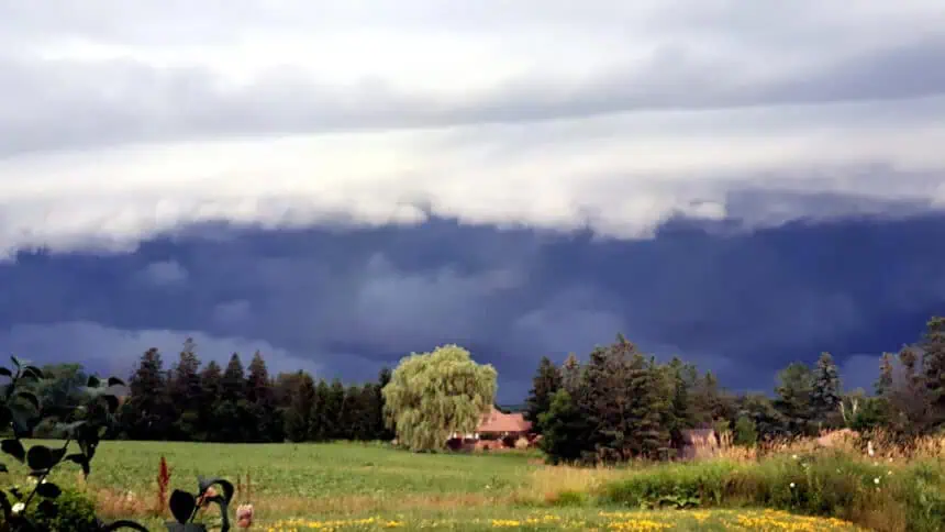
Wednesday and Thursday bring severe storms to Ontario and Quebec
OTTAWA, July 16, 2025, 13:38 local time – Over the next 48 hours, Ontario and Quebec will remain under an elevated storm threat, with heavy rain, flooding, hail, and even isolated tornadoes expected. The atmosphere across eastern Ontario and southern Quebec is increasingly unstable, fuelled by persistent heat and high humidity. These elements are combining to create ideal conditions for dangerous thunderstorms throughout Wednesday and especially Thursday.
Wednesday: scattered storms and slight tornado risk near Saguenay
The storm front will gradually push south and east through Wednesday, bringing thunderstorms to central Ontario and into Quebec, with activity increasing throughout the afternoon.
Localized strong cells could emerge near Saguenay, with a low probability of one or two tornadoes developing. These areas also face a higher risk of heavy rain, potentially exceeding 30 mm, and hailstones greater than 2 cm in diameter.
Further west, non-severe storms could sweep across the corridor from Sault Ste. Marie to Sudbury, continuing eastward into Quebec. Southwestern Ontario, particularly near the Great Lakes, could experience brief, isolated thunderstorms, depending on the intensity of lake breeze interactions.
Thursday: potent energy fuels dangerous storms and flooding
Thursday is shaping up to be the most critical day in this multi-day storm event. A low-pressure system, paired with a powerful cold front, will move across the Great Lakes early in the morning and progress through eastern Ontario and southern Quebec by late afternoon.
Multiple days of extreme heat—with highs reaching 30°C (86°F)—have saturated the air with moisture, creating volatile energy for the development of strong thunderstorms. Forecasters warn that 50 to 100 mm of rainfall could fall in some areas under slow-moving or training storm clusters, significantly increasing the risk of localized flash flooding.
Regions most at risk include the Ottawa Valley, the Laurentians, and much of southern Quebec. While the Greater Toronto Area may see non-severe storms earlier in the day, the afternoon hours will bring the strongest activity farther east.
Atmospheric dynamics suggest the presence of low-level shear, a critical ingredient for supercells and tornado development. Tornado potential will be greatest north of the Ottawa Valley and across the Laurentians, though confidence remains moderate to low and conditions are being closely monitored.
What’s next: cooler air follows severe weather
Behind the system, a notable cooldown is expected to sweep through Ontario and Quebec, offering temporary relief from the extended heat and humidity. But until then, all eyes remain on the developing situation, with residents urged to monitor weather alerts frequently, as conditions can change rapidly.
Stay tuned to The Weather Network for live updates across Ontario and Quebec.


