


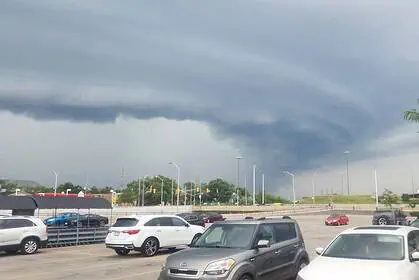
Florida is currently sweltering under the most intense heatwave of the summer, as a persistent heat dome continues to drive temperatures and humidity levels to hazardous thresholds. Over the past 48 hours, much of the Sunshine State has been under Heat Advisories, with heat index readings soaring to over 43 °C (110 °F) in several interior zones.
Following the temporary cooling brought by Invest 93L, a tropical system that moved across the Florida Peninsula last week, the weather has now shifted dramatically. Major cities including Jacksonville, Orlando, Tampa, and Miami are facing relentless sunshine and oppressive humidity, particularly during peak hours between 13:00 and 18:00 local time.
Actual air temperatures are climbing into the mid-30s Celsius (mid-90s Fahrenheit), but the humidex or “feels-like” value is far higher, making the atmosphere feel heavier and more exhausting, especially in non-coastal communities. The main driver behind this pattern is a strong ridge of high pressure stalled over the Atlantic, amplifying the heat dome effect across Florida and much of the Southeast United States.
This broad meteorological setup is not only elevating the heat but also inhibiting the sea breeze, which typically brings late-afternoon relief along the coastal zones. The result is a stagnant, humid air mass that leaves urban areas and inland regions baking under minimal airflow.
The most extreme conditions are being reported north of Interstate 4, particularly in the corridor between I-95 and I-75, where heat indices are peaking near 43 °C (110 °F). South of I-4, although slightly less severe, temperatures still hover in the 38–43 °C (100–110 °F) range when humidity is factored in.
Despite the scorching heat, air temperatures alone are not reaching record-breaking territory. What’s making this episode particularly intense is the high moisture content in the atmosphere, pushing thermal stress on residents and travellers alike. The real danger is tied to how the body perceives and reacts to the high humidity and reduced capacity for natural cooling through sweating.
There may be modest relief early this week as cloud cover and higher rain chances begin to develop. The remnants of Invest 93L, combined with a possible new low-pressure system, could bring scattered showers and thunderstorms by Tuesday or Wednesday, offering some short-lived cooldowns in parts of Central and South Florida.
Climatologically, late July into early August is the climax of Florida’s summer heat season, so these conditions are seasonally typical, albeit particularly intense this year. In cities like Jacksonville, some cooling centres are open to the public, offering air-conditioned spaces as long as heat indices remain in the danger zone.


