
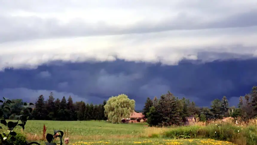
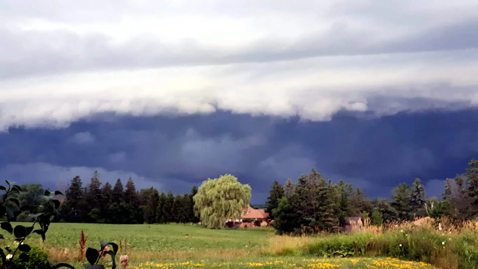
Power outages, tree collapses and wind damage are being reported across Ontario and Quebec after a series of severe thunderstorms swept through Central Canada on Thursday, fuelled by a combination of oppressive humidity, intense heat, and a low-pressure system.
As of Thursday evening, more than 40,000 customers in Ontario were left without electricity, according to Hydro One. The hardest-hit zones include southwestern Ontario, especially near Mitchell, where there have been multiple damage reports following a wave of afternoon storms.
Throughout the day, tornado warnings were issued across both northern and southern Ontario, though no official confirmations of touchdowns have been made. Still, storm-related destruction continues to surface, with strong evidence of tree uprooting, infrastructure damage, and blown-over objects. One particularly intense storm system surged through Ferme-Neuve, in Quebec, on Thursday afternoon, bringing with it high winds and scattered debris.
From Lake Huron to the Georgian Bay shoreline, weather patterns became increasingly organized and linear between 7:00 and 8:00 p.m., pushing wind gusts into the 90–100+ km/h (55–62+ mph) range. These storms were driven by an unstable atmosphere packed with moisture and wind shear, boosting the risk of hail, flash flooding, and damaging winds. There was also a slight, yet present, possibility of rotating cells forming isolated tornadoes across northeastern Ontario and parts of Quebec.
In the Greater Toronto Area, storms arrived by late evening and overnight, though they began to weaken as available energy faded. However, intermittent rainfall is expected to linger into Friday morning, especially over the northern GTA and surrounding communities.
Looking ahead to next week, Central Canada will remain under the grip of sunny, humid, and hot conditions, with the risk of scattered thunderstorms remaining elevated. A strong cold front is forecast to arrive by midweek, prompting another round of storm activity. This system will usher in a wave of cooler air, dropping temperatures to below seasonal norms just in time for the August long weekend.
By the second week of August, a noticeable warming trend is likely to resume across both Ontario and Quebec.
Stay connected with The Weather Network for real-time coverage, alerts, and updates across Central Canada.


