
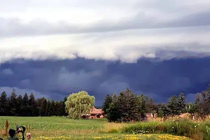
OTTAWA, Ontario – As of Thursday, July 24, 2025, central and eastern parts of Ontario are facing a heightened threat of severe thunderstorms and possible tornadoes, especially late this evening and overnight. The summer heat that’s settled across much of the province is expected to act as a trigger for a volatile storm system, which could bring widespread impacts from Essex County all the way through to Northeastern Ontario.
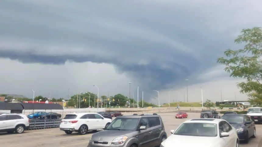
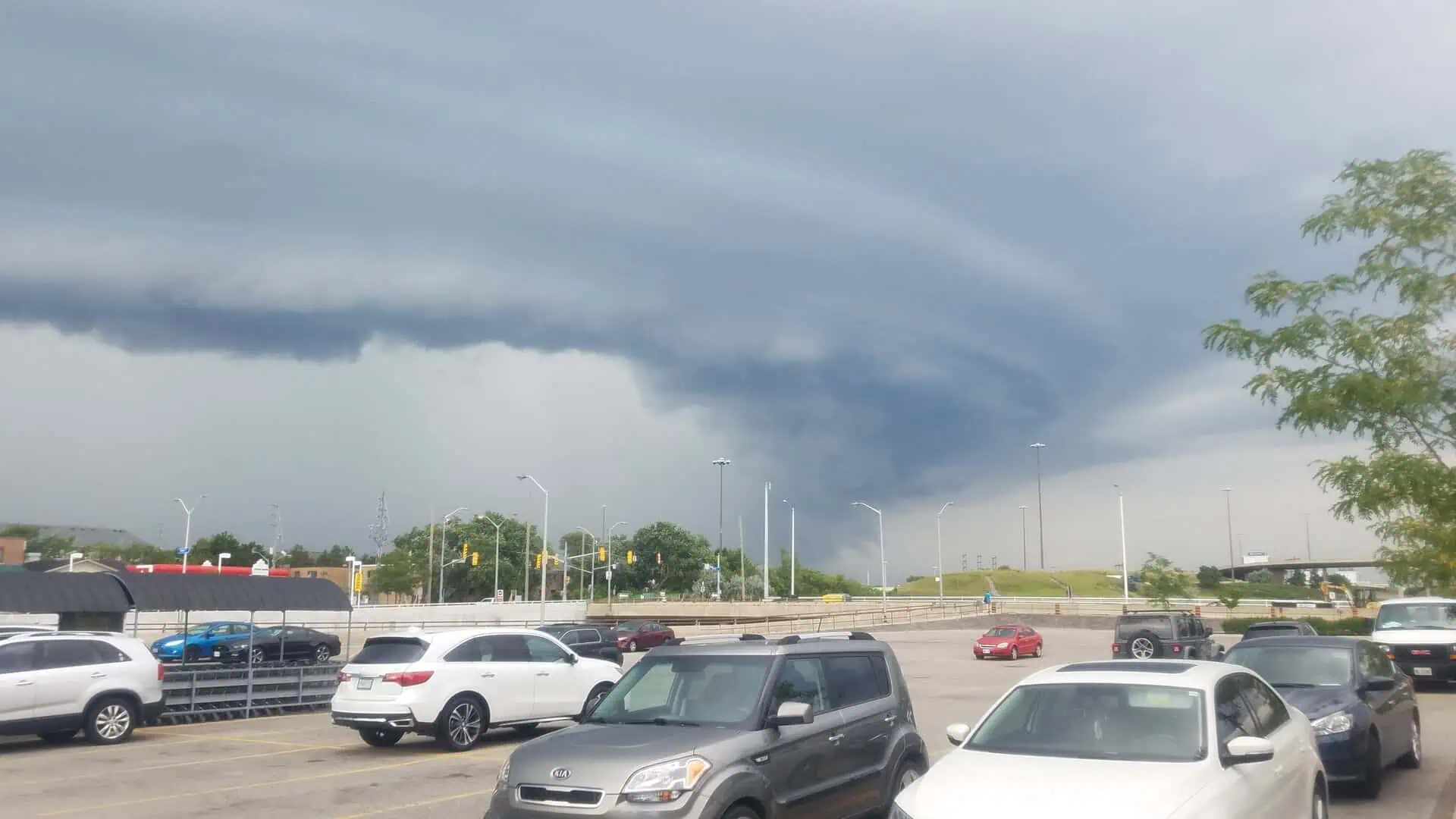
High-resolution forecasts are pointing to the development of a powerful mesoscale convective system (MCS), particularly in areas stretching from the Bruce Peninsula across to Muskoka, Algonquin, and potentially extending into Eastern Ontario. This system could bring damaging wind gusts above 100 km/h (62 mph), large hail, localized flash flooding, and intense lightning.
Severe weather conditions may begin in the afternoon hours for parts of Northeastern Ontario, but the most widespread risk is expected from late afternoon into the night, especially as the storms move eastward towards Quebec. Areas under the strongest threat are highlighted in Environment Canada’s level 2 of 4 risk zone, which includes Southwestern Ontario, the Greater Golden Horseshoe, and parts of Eastern Ontario.
Some forecast models are showing early storm development in the late afternoon, but the greater likelihood is for more intense thunderstorms to occur after sunset, making overnight conditions particularly hazardous.
Storm hazards include:
Damaging winds that may exceed 100 km/h (62 mph), particularly where storm lines form and intensify.
Heavy downpours with rainfall totals up to 50 mm (2 inches), which could lead to urban flash flooding and poor visibility on highways.
Hail measuring up to 2 cm (0.8 inches), potentially damaging vehicles and crops.
A non-negligible tornado risk, especially within the orange-shaded zone on forecast maps, where rotating cells could develop rapidly.
Power disruptions are likely, especially in regions with dense tree coverage and older electrical infrastructure.
In Southern and Northeastern Ontario, the threat window spans from mid-afternoon into the early morning hours of Friday, with a moderate likelihood of hail, tornadoes, and localized flooding. This includes areas such as North Bay, Sudbury, Temiskaming Shores, Huntsville, and Barrie.
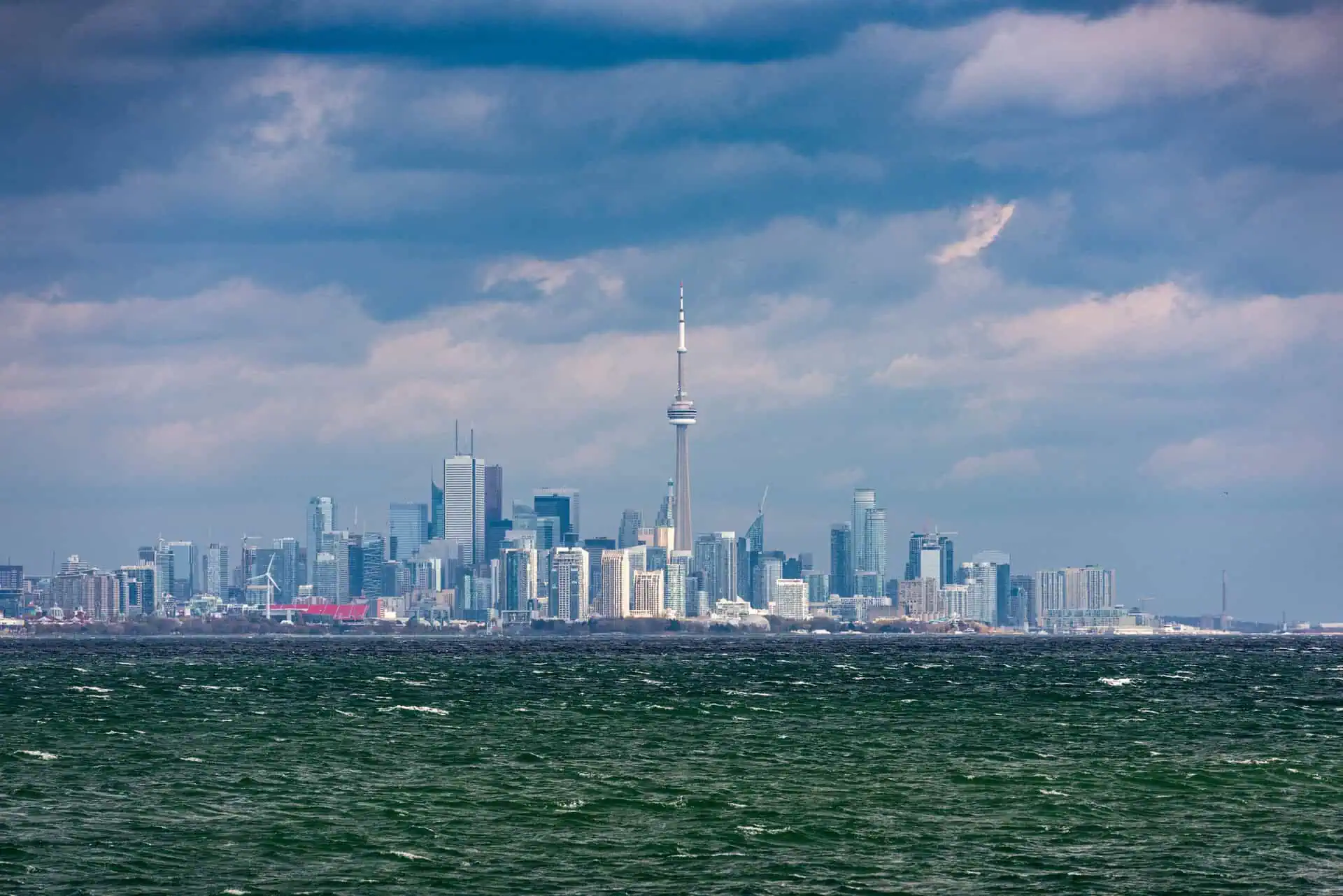
In Southwestern and Eastern Ontario, including the Greater Golden Horseshoe, the focus is on intense rainfall and gusty winds beginning later this evening. Cities like Toronto, Mississauga, Kingston, and Peterborough should prepare for nighttime thunderstorms that could disrupt transit and outdoor events.
A reminder: Environment Canada has issued a moderate confidence forecast, and the situation remains dynamic, with storm intensity and track subject to change in real-time.
Special thanks go out to Kempenfest in Barrie, sponsor of today’s forecast. Adam Skinner, who authored this alert, will be on stage this August 2 at Kempenfest, opening for Colin James with his new band Face The Lion. The festival runs August 1–4, along Barrie’s stunning waterfront, and features more than 300 vendors, live music, and family-friendly attractions.
Stay connected and keep an eye on live storm tracking updates via YouTube, where coverage will continue throughout the evening.


