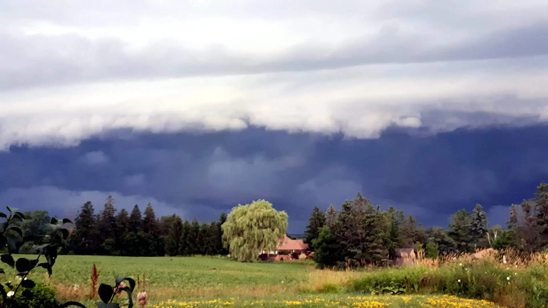
Southern and northeastern Ontario are bracing for severe thunderstorms this Thursday, with a tornado threat targeting parts of cottage country, including Muskoka, the Almaguin Highlands, and the Algonquin Park region.
Although the Greater Toronto Area remains under an ongoing heat warning, Environment and Climate Change Canada is now tracking a separate wave of unstable weather, set to move across southern, northeastern, and sections of northwestern Ontario starting late afternoon.
From around 17:00 (5:00 p.m.) local time in Ottawa, meteorologists expect thunderstorms capable of delivering intense wind gusts, heavy rainfall, and hail. The tornado risk, although localized, is being taken seriously in the elevated forested regions north of Toronto, especially near lakefront cottages and wilderness zones.
Forecast models pinpoint the most volatile cells forming between late Thursday afternoon and the early evening, with the highest chances of rotational activity over central Ontario’s rugged landscape.
The system’s movement is being closely monitored, as it coincides with lingering heat and humidity in the lower atmosphere. Temperatures are still hovering above 30°C (86°F) in many communities, helping to fuel unstable convective conditions.
A digital map released by Environment Canada outlines the primary storm tracks, highlighting elevated alerts over much of central Ontario, stretching from Georgian Bay to the Ottawa Valley.
Residents and travellers in these zones, particularly in tourist-heavy locations like Muskoka, are facing an evening where sky conditions could change with little warning.


