

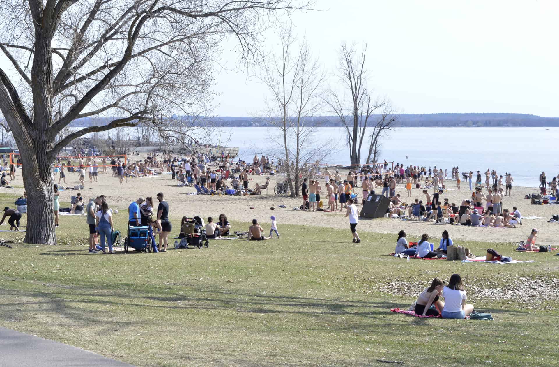
Warm air and intense humidity to dominate Central Canada
The summer of 2025 is shaping up to bring above-average heat and humidity to most of Ontario, as highlighted in the seasonal outlook from The Weather Network, released on Wednesday, May 28. Meteorologist Doug Gillham, who heads the forecast centre, emphasized that southern and central Ontario, along with Québec and the Maritimes, can expect a muggy and storm-prone summer, marked by elevated overnight temperatures and frequent thunderstorms.
While many will initially welcome the promise of prolonged warmth and sunshine, Gillham issued a caution: “This summer will highlight that you can get too much of a good thing.” The increased heat could aggravate risks such as wildfires, drought, and storm-related damage, especially in Western Ontario, where conditions are expected to be drier and warmer than normal.
Ontario-Manitoba border faces wildfire concerns
Already this spring, communities near the Ontario-Manitoba boundary have begun facing fast-moving wildfires, offering a stark preview of what’s ahead. This region is forecast to continue experiencing hot and dry conditions, significantly raising the risk of further fire activity. Gillham urged the public to remain particularly vigilant, given how quickly such events can escalate in dry, wind-swept areas.
Notably, while short heatwaves are anticipated before July, sustained extreme heat is not projected for all of Ontario. Only areas west of Lake Superior may face persistently hot conditions.
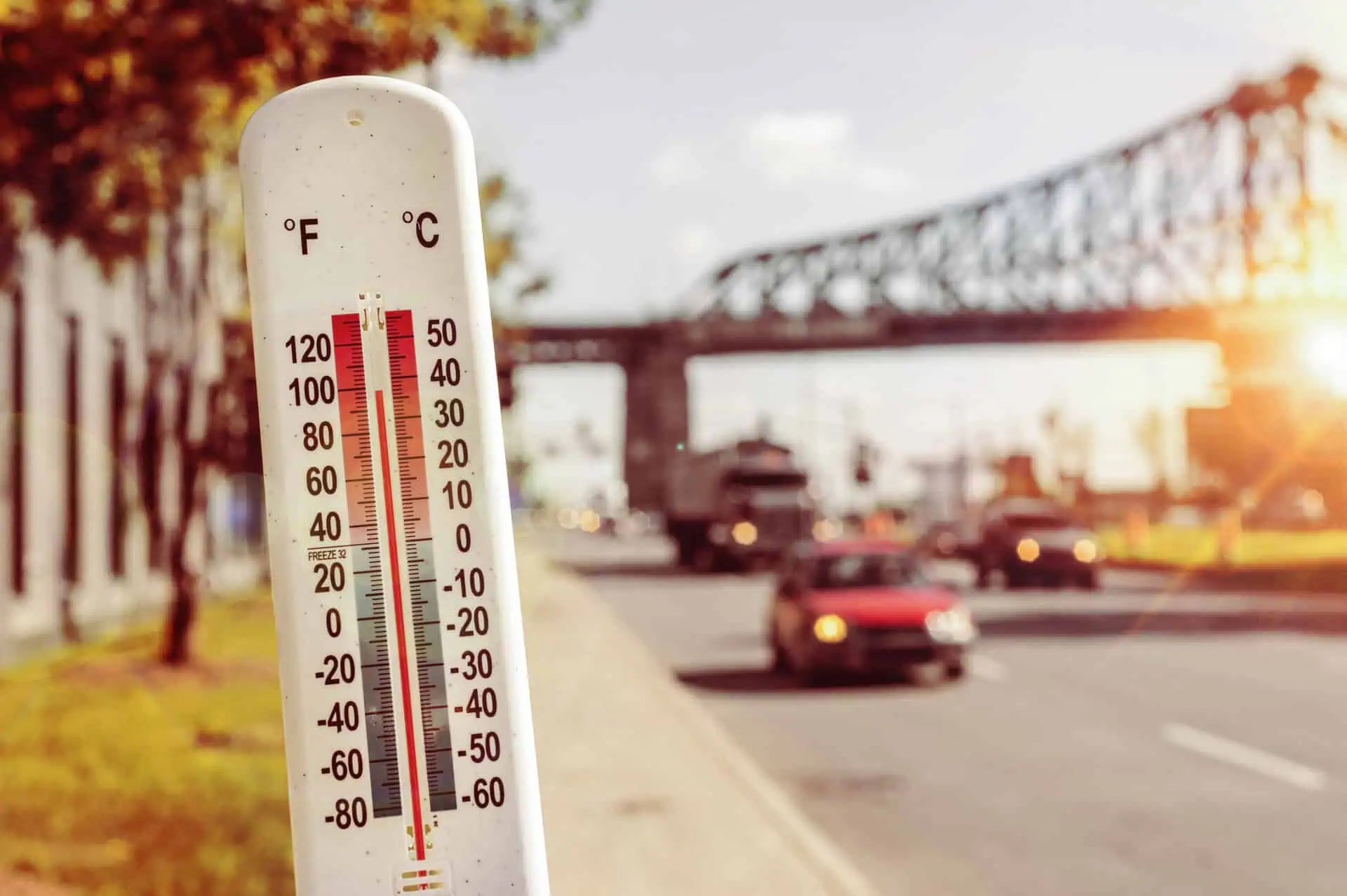
Climate trends push summer norms higher
Meteorologists are adjusting what’s considered “normal” as climate change continues to shift the baseline. Canadian summers have warmed by nearly 2°C (3.6°F) since the late 1940s, a factor contributing to the frequency and intensity of extreme weather events. “It shifts the goalposts,” Gillham remarked, making cooler summers less likely and warmer seasons increasingly probable, though not in a perfectly predictable pattern.
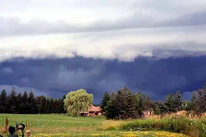
Storms and hurricane remnants may reach Ontario
The jet stream configuration could channel remnants of Atlantic hurricanes into Ontario and Québec later this summer. Though overall hurricane numbers may be within normal range, any storm making landfall could have high impact, even hundreds of kilometres inland.
In the Atlantic basin, meteorologists predict 13 to 19 named storms, 6 to 10 hurricanes, and 3 to 5 major hurricanes during the June–November hurricane season. Ontario’s exposure would primarily come from weakened systems tracking northeast.
Broader Canadian picture shows drought risk for the Prairies
The summer forecast also points to severe drought potential across southern Alberta, Saskatchewan and Manitoba, where very warm temperatures are expected to combine with scarce rainfall. Although the northern Prairies and northern Canada are predicted to see above-normal warmth, precipitation there may hover around seasonal averages.
In British Columbia, particularly its interior, drier and hotter conditions are forecast, raising concerns of fire activity similar to 2021. However, the coast is likely to experience more typical conditions, with normal temperatures and rainfall, and even a wetter-than-usual season in regions bordering the Yukon.
Maritimes and Newfoundland outlook: warmer with bursts of cool
The Maritime provinces and western Newfoundland are expected to experience above-normal heat and precipitation, interspersed with cooler air masses. Meanwhile, eastern Nova Scotia and Newfoundland and Labrador should remain close to seasonal averages in terms of both temperature and rainfall.
As June approaches, the balance between sunshine, storms, and fire risks will define the rhythm of this summer across Canada, with Ontario standing as one of the most volatile zones due to its humidity, heat waves, and potential hurricane remnants.


