
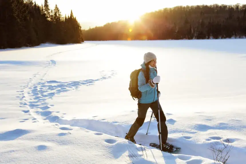
Ottawa, Wednesday, July 10, 2025 – 8:00 a.m. (EDT) – Early atmospheric and oceanic signals are increasingly pointing toward a weaker-than-average Polar Vortex for the upcoming winter of 2025/2026. Such a scenario has direct implications for large-scale weather patterns across Canada, the United States, and Europe.
When the Polar Vortex weakens, the jet stream tends to become less stable and more fragmented, allowing Arctic air masses to push southward into the mid-latitudes. As of now, three major global climate drivers appear to be aligning in a way that could shape a highly dynamic and colder winter season.
Understanding the Polar Vortex and why it matters
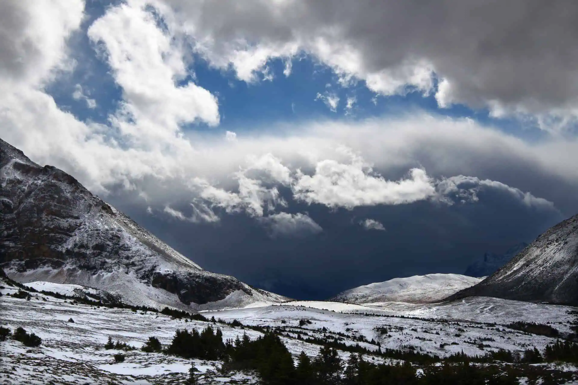
The Polar Vortex refers to a large-scale, cyclonic circulation that develops over the Arctic during the cold season. It spans both the troposphere, where our weather occurs, and the stratosphere, which contains the ozone layer.
In the stratosphere, the vortex tends to be stronger and more circular, while closer to the surface, it becomes less stable due to the influence of terrain and pressure systems. One key event that can weaken the vortex is a Sudden Stratospheric Warming (SSW), a rapid temperature rise in the upper atmosphere that can disrupt the polar circulation.
When the stratospheric Polar Vortex breaks down, the jet stream below becomes wavier, allowing cold Arctic air to spill into regions like central and eastern Canada, the northern United States, and Northern Europe.
ENSO: signs of a weak La Niña emerging
One of the strongest signals for a weaker Polar Vortex this winter comes from the ENSO region (El Niño–Southern Oscillation). Current forecasts, including the NMME ensemble, show developing cold anomalies in the equatorial Pacific, consistent with a weak La Niña phase forming by late autumn.
Historically, La Niña winters are more likely to produce Sudden Stratospheric Warming events—a key disruptor of the stratospheric vortex. On average, the probability of an SSW occurring during La Niña conditions is around 60–75%, particularly in January and February.
This phase also promotes pressure patterns that support the upward movement of planetary (Rossby) waves, which can interfere with the vortex and alter winter storm tracks across North America and Europe.
QBO: stratospheric winds entering easterly phase
Another critical factor is the Quasi-Biennial Oscillation (QBO), a natural pattern of alternating zonal winds in the stratosphere above the equator. These winds shift direction approximately every 17 months, oscillating between easterly and westerly.
Current data from NASA and daily radiosonde measurements over Singapore confirm that an easterly (negative) QBO phase is now descending through the upper atmosphere. This phase is expected to continue strengthening into the winter months.
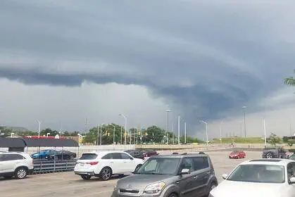
The easterly QBO enhances the vertical propagation of planetary waves from the troposphere to the stratosphere. These waves are key agents in destabilizing the Polar Vortex, making it more likely to break down, which in turn alters surface weather across Canada and other mid-latitude regions.
Arctic sea-ice loss: reshaping polar patterns
A third factor is the continued decline in Arctic sea ice, particularly in regions like the Beaufort Sea and the East Siberian Sea. As sea ice coverage shrinks, the temperature contrast between open ocean and the overlying air intensifies. This change can disrupt pressure fields and contribute to enhanced wave activity, again weakening the Polar Vortex.
Together, ENSO, the QBO, and Arctic sea-ice loss are combining in a way that favours a more disrupted polar circulation. This sets the stage for potentially colder and snowier periods across Canada during winter 2025/2026, especially from late December into February.
Signs point to a more dynamic winter ahead
With a weak La Niña developing, the QBO entering an easterly phase, and sea-ice extent at historically low levels, we are seeing a combination of climate signals that historically align with a weaker Polar Vortex.
Meteorologists will continue closely monitoring these trends through late summer and autumn, particularly between September and November, as model confidence improves.
If these patterns hold, Canada could be in for a colder-than-average winter, marked by increased Arctic outbreaks, frequent snow events, and higher weather variability across much of the country.


