
Wednesday, July 16, 2025 – 9:00 a.m. | Ottawa local time
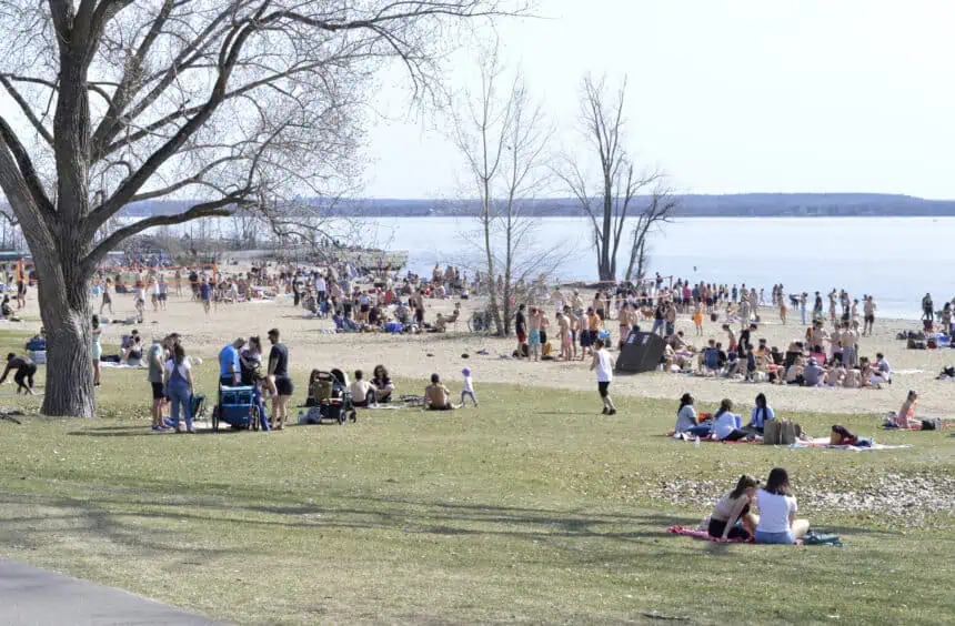
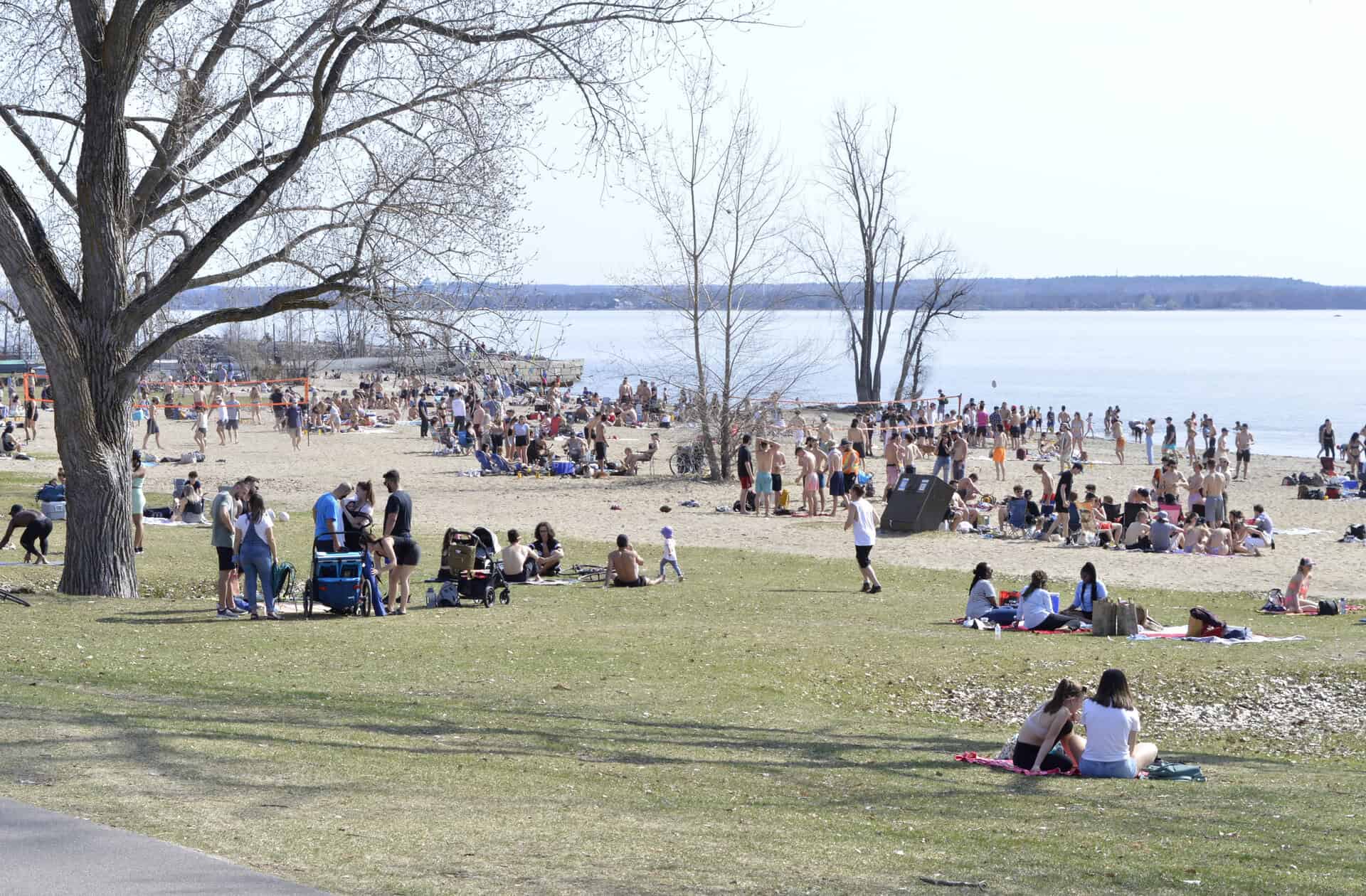
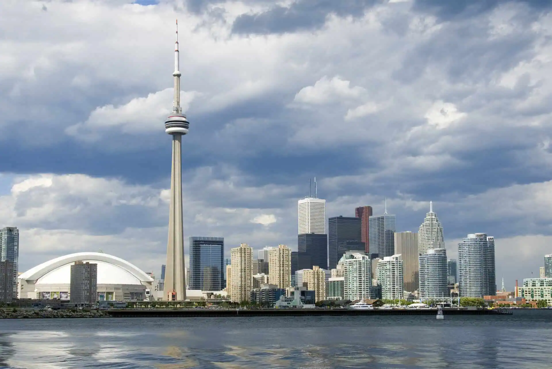
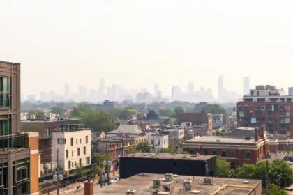
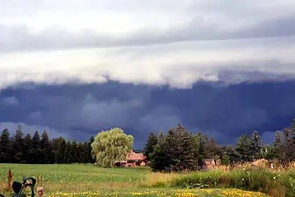
Toronto is facing another sweltering day, with a humidex of 40°C (104°F) expected this afternoon as intense heat and poor air quality continue to blanket the region. Environment Canada has extended both a heat warning and a special air quality statement as wildfire smoke from Northern Ontario and the Prairies lingers over the city.
According to the national weather agency, air pollution levels remain high, and all residents—especially vulnerable populations—should limit their time outdoors.
“Consider reducing or rescheduling outdoor activities when pollution levels spike,” the agency said in its most recent update.
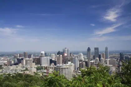
Toronto’s air quality has now reached one of the worst levels globally. Data from Swiss-based tracker IQAir currently ranks the city 11th worldwide for poor air quality, driven largely by elevated ozone and fine particulate matter in the atmosphere.
Today’s temperature is expected to reach 32°C (90°F), but with high humidity, it will feel closer to 40°C (104°F). Scattered thunderstorms are also a possibility this afternoon, particularly near Lake Ontario, adding another layer of unpredictability to an already volatile weather day.
Relief is on the horizon. On Thursday, temperatures are forecast to drop slightly to a high of 28°C (82°F), though it will still feel like 36°C (97°F). A cooler air mass is expected to push into the region by Thursday night, bringing an end to the multi-day heat wave that began over the weekend.
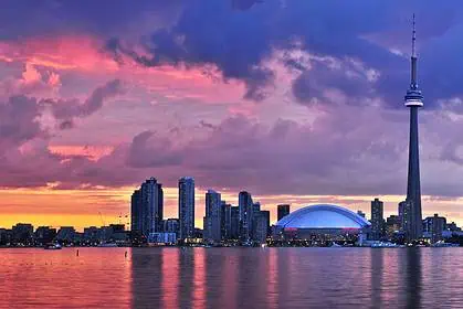
By Saturday and Sunday, Toronto should return to more seasonal conditions, with daytime highs of 25°C (77°F) and 26°C (79°F). Improved air quality is also anticipated as the smoke plume dissipates, offering a much-needed reprieve for residents across the GTA, from North York to Etobicoke.


